Harnessing Reality Data Capture for the Renewable Energy Industry
There is a global shift toward renewable energy, making the need for precise and actionable data more critical than ever. Reality data capture technologies allow for such data collection, whether optimizing the efficiency of wind turbines, maintaining solar farms, or assessing hydroelectric plants. So, just how are these technologies revolutionizing the sector and driving progress toward a more sustainable energy future?
The Role of Reality Data Capture in Renewable Energy
Reality data capture is the collection of accurate, real-world information about environments, terrains, and objects using advanced technologies like LiDAR, photogrammetry, 3D scanning, and thermal imaging. The collected data can be used to create highly detailed digital representations of real-world assets and landscapes. The renewable energy industry depends heavily on efficiency, reliability, and sustainability, so the ability to capture and analyze real-time data offers an invaluable advantage.
Traditional methods for applications such as wind turbine inspections or terrain mapping for new solar farms are far less accurate and thorough than the tools that provide access to hard-to-reach places and in-depth insights. Reality data capture technology enables faster decision-making, greater operational safety, and reduced costs.
Renewable Energy Sectors that use Reality Data Capture
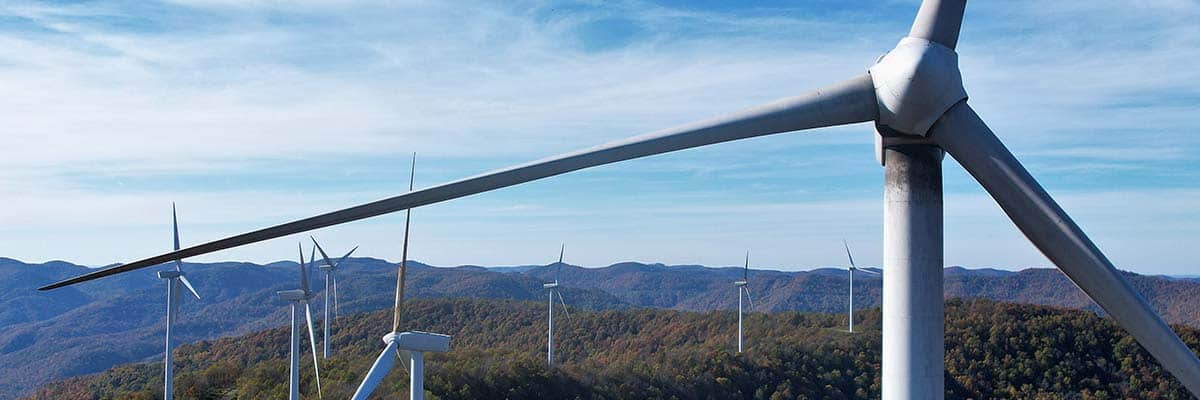
Wind Energy
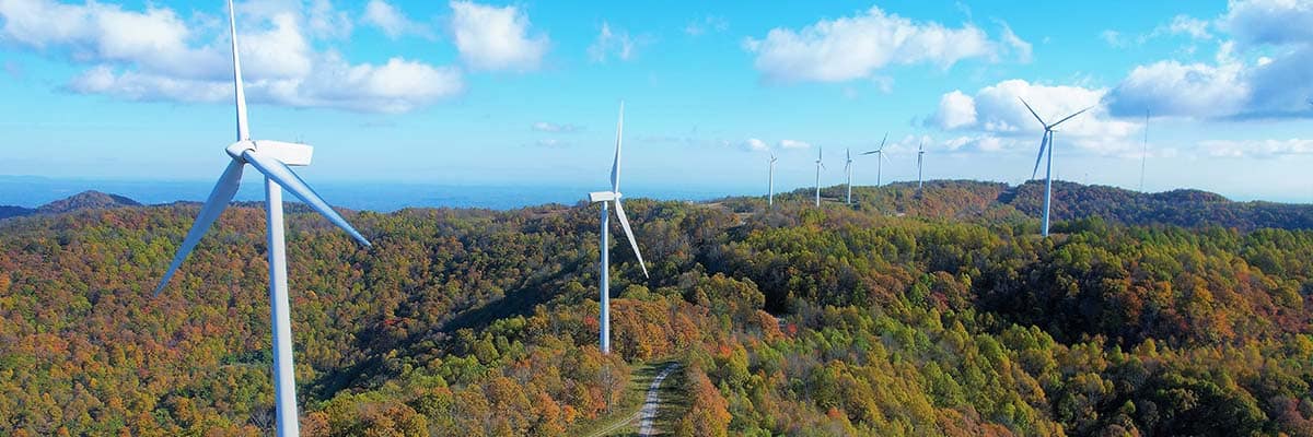
Wind energy operations involve large turbines located in often harsh, remote environments. Inspections of these towering structures have historically been costly, time-consuming, and dangerous. With drones and LiDAR technology, operators can now conduct inspections remotely, identifying structural issues, blade damage, or component wear with minimal downtime. Additionally, data capture technologies assist in mapping wind farm sites, helping operators optimize turbine placement for maximum efficiency.
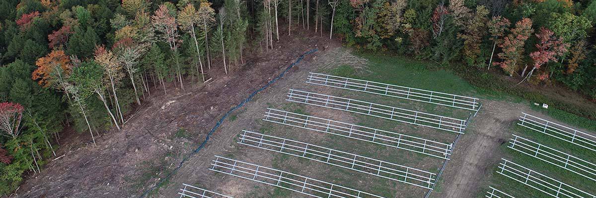
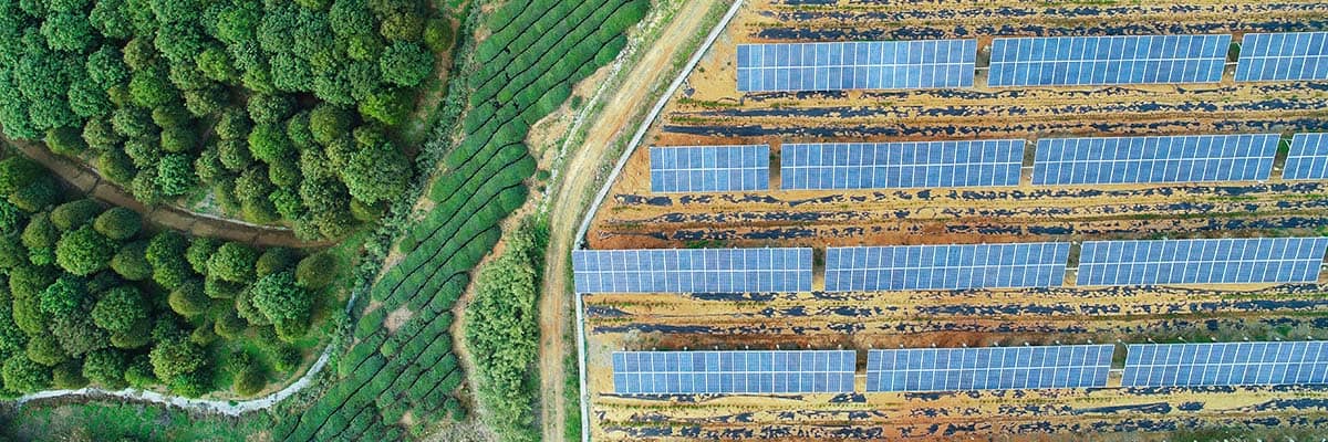
Solar Energy
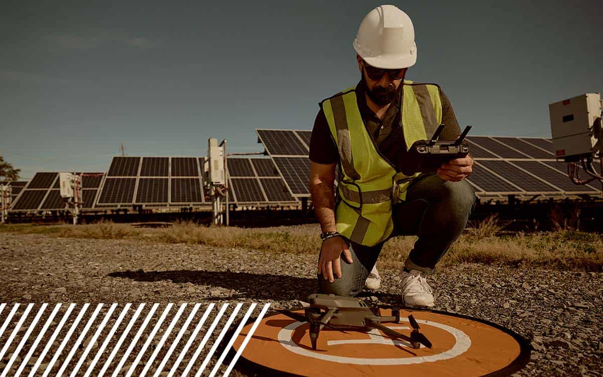
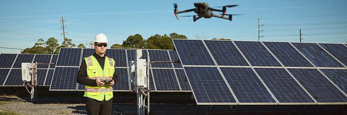
Solar farms rely on the performance of thousands of panels, and even small inefficiencies can result in significant energy losses. Using thermal imaging and drones, operators can quickly detect defects, identify thermal anomalies, and monitor dirt accumulation — all of which can compromise panel efficiency. Additionally, during the planning phase of new solar farms, reality data capture helps analyze terrain, ensuring that panels are installed in optimal locations to harness maximum sunlight.
Hydro and Tidal Energy
Reality data capture is crucial for inspecting the structural integrity of dams, turbines, and underwater infrastructure in hydro and tidal energy projects. Technologies like remotely operated vehicles (ROVs) and photogrammetry enable precise monitoring of submerged assets, helping to prevent failures and reduce the need for costly underwater maintenance. Additionally, ongoing environmental monitoring allows operators to assess the long-term impacts of these installations on surrounding ecosystems.
Geothermal Energy
Geothermal energy plants depend on the careful selection of sites, and reality data capture plays a crucial role in mapping and analyzing terrain during the site selection process. Once operational, these tools also help monitor the integrity of geothermal plants and associated pipelines, ensuring safe and efficient energy production.
Applications of Reality Data Capture in Renewable Energy
Three phases—site planning & assessment, design & construction, and operations & maintenance—demonstrate how reality data capture is integral to the lifecycle of renewable energy projects, driving efficiency, accuracy, and sustainability at every step.
Site Planning & Assessment
Reality data capture technologies – drones, LiDAR, and photogrammetry – provide valuable insights during the initial site planning and assessment phase of renewable energy projects. These tools can quickly collect high-resolution data on topography, land use, and environmental factors, allowing project developers to evaluate potential sites with exceptional accuracy.
For example, reality data capture in wind and solar farm planning can assess terrain, vegetation, and weather patterns to determine the optimal placement of turbines or solar panels, maximizing energy production and reducing environmental impact. By providing detailed 3D models and geospatial data, these technologies help identify potential obstacles and risks early in the process, such as erosion-prone areas or wildlife habitats, improving project feasibility and minimizing delays.
Moreover, remote sensing data collected during site assessments ensures compliance with environmental regulations and helps streamline permitting processes by providing detailed evidence of the project’s potential impact on the surrounding ecosystem.
Design & Construction
Reality data capture enhances precision, efficiency, and collaboration during the design and construction phases of renewable energy projects. Engineers and architects can use high-quality 3D models generated from LiDAR and drone surveys to create accurate designs tailored to the site’s unique characteristics. This reduces errors and revisions, ensuring that infrastructure is optimized for the environment.
For instance, drones equipped with LiDAR can provide precise topographical data in wind farm construction, allowing for accurate grading and foundation placement for wind turbines. Similarly, solar farm developers can use drone-based photogrammetry to survey large areas and plan the exact layout of solar panels, considering factors like terrain, shading, and access routes.
Reality data capture also improves construction monitoring. Drones can conduct regular site surveys to track progress, ensuring construction proceeds according to plan. Real-time data helps project managers identify issues early, adjust timelines, and control budgets. Reality data capture ultimately improves overall project efficiency and lowers construction costs by minimizing rework and delays.
Operations & Maintenance
Once renewable energy facilities are operational, reality data capture continues to provide value through ongoing monitoring, inspection, and maintenance. For wind turbines, drones equipped with thermal cameras and high-resolution imaging can inspect blades, towers, and electrical components for signs of wear, cracks, or overheating, enabling early detection of potential failures. These remote inspections minimize the need for manual labor, increase safety, and reduce downtime by allowing for proactive maintenance scheduling.
In solar farms, reality data capture can quickly identify malfunctioning panels or those covered by debris, dirt, or vegetation, which could reduce energy output. Thermal imaging drones can scan large arrays of panels in a fraction of the time required for manual inspections, improving overall efficiency and reducing operational costs.
Additionally, reality data capture helps assess the performance of renewable energy assets over time. Operators can track degradation, identify trends, and plan for component replacements or upgrades by comparing current data with historical information. This data-driven approach ensures that renewable energy facilities operate at peak performance, extending the lifespan of infrastructure and maximizing return on investment.
Benefits of Reality Data Capture in Renewable Energy
Reality data capture provides several significant benefits for renewable energy operations:
- Enhanced Safety: Remote inspections via drones protect personnel and minimize the risk of human error by reducing the need for workers to perform dangerous, manual inspections in extreme conditions.
- Operational Efficiency: Faster data collection and analysis allow operators to make real-time decisions, quickly address issues before they escalate, reduce downtime, and ensure assets operate at peak efficiency.
- Cost Reduction: Significant cost savings can be achieved by reducing the need for manual inspections, limiting downtime for repairs, and optimizing the placement and maintenance of renewable energy assets.
- Environmental Impact: Reality data capture allows for better planning and ongoing environmental monitoring, helping companies minimize their footprint and adhere to sustainability goals.
Challenges and Solutions
Despite its many advantages, the adoption of reality data capture in renewable energy is not without challenges:
- Data Integration: One of the biggest hurdles is integrating data from various sources (e.g., drones, LiDAR, thermal cameras) into a unified platform. However, advances in software solutions are making it easier to merge and analyze diverse data streams.
- Regulatory Compliance: The regulatory landscape surrounding the use of drones and data capture technology can vary across regions, making compliance a potential challenge. Staying updated on local regulations and partnering with experienced providers can help navigate this complexity.
- Skill Requirements: Reality data capture tools require skilled operators who understand both the technology and the renewable energy sector. Investing in training and onboarding processes ensures teams can fully utilize these technologies for maximum benefit.
Future Trends in Reality Data Capture for Renewable Energy
The future of reality data capture in renewable energy is promising, with several exciting trends on the horizon:
- AI and Machine Learning: Integrating AI and machine learning into data capture processes will enable predictive maintenance, allowing operators to identify potential issues before they occur and reduce unplanned downtime.
- Advanced Sensors: New sensor technologies, such as multispectral and hyperspectral imaging, will provide even more detailed data, helping to optimize energy production and environmental monitoring.
- Autonomous Inspections: Autonomous drones and remote monitoring systems will streamline inspections and maintenance, enabling continuous real-time monitoring of renewable energy assets without manual intervention.
Power up With Reality Data Capture
Reality data capture has transformed the renewable energy industry, offering enhanced safety, improved operational efficiency, and reduced costs. Renewable energy operators will be better equipped to meet the growing demand for sustainable energy while optimizing their operations as these technologies evolve. For companies looking to stay ahead of the curve, now is the time to explore how reality data capture can revolutionize their renewable energy assets.
Interested in seeing how reality data capture can enhance your renewable energy operations? Contact FlyGuys today for a consultation or demo of our reality data capture services tailored to the renewable energy industry. Let’s help you harness the power of real-time data for a sustainable future.