Enhancing Pavement Assessments with Reality Data Capture Technology
Maintaining the integrity of our roadways is essential for safe and efficient transportation. Pavement assessments are a critical part of this maintenance process, helping to identify wear and tear, potential hazards, and necessary repairs. Traditionally, these assessments have been time-consuming, labor-intensive, and sometimes risky. However, advancements in reality data capture technology are transforming how we conduct pavement assessments, making the process more efficient, accurate, and safe.
Understanding Pavement Assessments
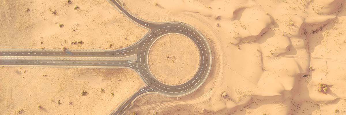
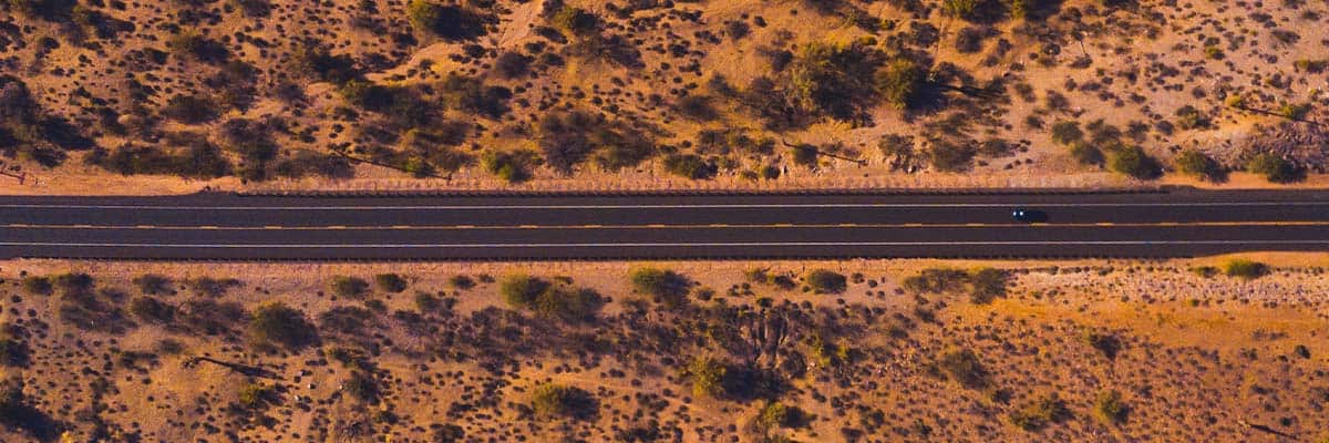
Pavement assessments involve evaluating the condition of road surfaces to identify defects such as cracks, potholes, and general wear. These assessments are crucial for maintaining road safety and planning maintenance activities. Traditionally, this process has relied on manual inspections, which can be subjective, slow, and limited in scope. The need for more accurate, comprehensive, and timely data has driven the adoption of modern technologies.
What is Reality Data Capture?
Reality data capture refers to the collection of accurate and detailed information about the physical world using advanced technologies. These technologies include drones, LiDAR (Light Detection and Ranging), photogrammetry, and ground-penetrating radar. By capturing high-resolution images and 3D data, these tools provide a precise and comprehensive view of pavement conditions.
The Role of Reality Data Capture in Pavement Assessments
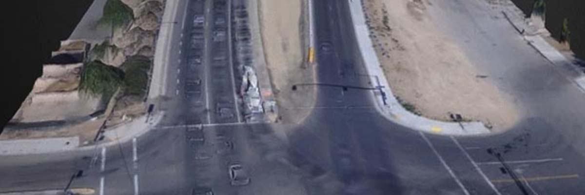
Data Collection: Reality data capture technologies can gather vast amounts of data quickly and accurately. Drones equipped with high-resolution cameras and LiDAR sensors can survey large areas in a fraction of the time it takes for traditional methods. This rapid data collection allows for more frequent assessments, ensuring that issues are identified and addressed promptly.
Efficiency: These technologies streamline the assessment process. Automated data capture reduces the need for manual inspections, minimizing labor costs and human error. The data collected is more precise, leading to better decision-making and resource allocation.
Safety: Conducting pavement assessments with drones and other remote sensing technologies enhances surveyors’ safety. Instead of working on busy roadways, inspectors can operate equipment from a safe distance, reducing the risk of accidents and exposure to hazardous conditions.
Types of Data Captured
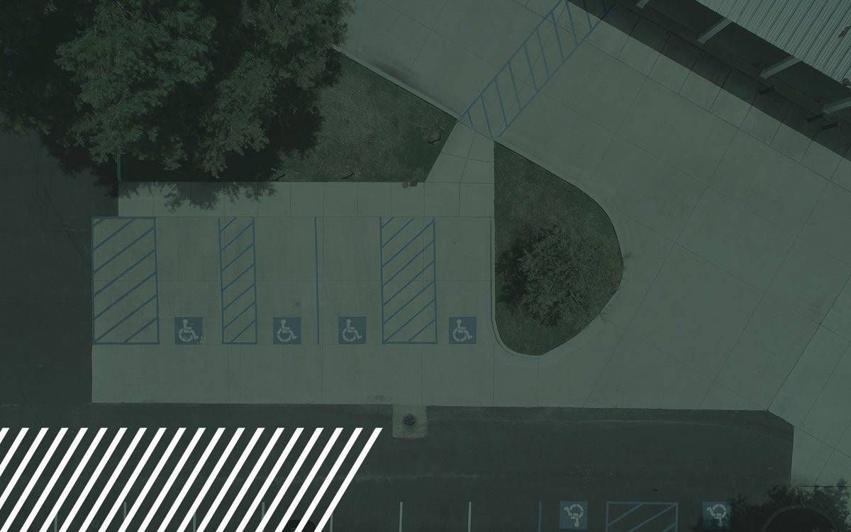
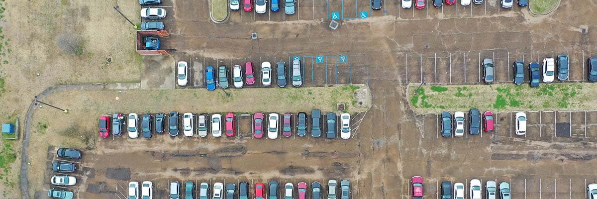
Surface Data: High-resolution imagery and LiDAR data provide detailed information about surface conditions, including cracks, potholes, and other forms of deterioration. This data is essential for identifying and prioritizing repair needs.
Subsurface Data: Ground-penetrating radar can reveal issues beneath the surface, such as voids, moisture infiltration, and the condition of underlying layers. This subsurface information is crucial for comprehensive pavement assessments.
3D Models: The data collected through reality capture technologies can be used to create detailed 3D models of roadways. These models provide a visual representation that helps engineers and decision-makers better understand pavement conditions and plan interventions.
Applications in Pavement Management
Routine Inspections: Reality data capture can be used for regular pavement assessments, enabling proactive maintenance. Frequent inspections help prevent minor issues from becoming major problems.
Damage Assessment: After natural disasters or severe weather events, reality data capture allows for quick and accurate damage assessment. This rapid response helps prioritize repairs and allocate resources effectively.
Planning and Budgeting: Accurate data supports better planning and budgeting for maintenance activities. By understanding the exact condition of pavement, municipalities and contractors can develop more efficient maintenance plans and optimize their budgets.
Case Studies
Example 1: In a recent project, a city used drones equipped with LiDAR to assess the condition of its roads. The data collected enabled the city to identify and prioritize repairs more effectively, reducing overall maintenance costs and improving road safety.
Example 2: Another project involved using ground-penetrating radar to assess the subsurface condition of a highway. The detailed data revealed underlying issues that were not visible on the surface, allowing for targeted repairs that extended the lifespan of the pavement.
Challenges and Considerations
Technical Challenges: Implementing reality data capture technologies can present technical challenges, such as data processing and integration with existing systems. Overcoming these challenges requires investment in software and training.
Cost: While the initial investment in reality data capture technology can be significant, the long-term benefits often outweigh the costs. Improved accuracy, efficiency, and safety lead to cost savings over time. Partnering with a reality data capture service company is a cost effective way to utilize the technology for maximum profitability.
Data Management: Managing and interpreting the large volumes of data collected is essential. Effective data management systems and skilled personnel are necessary to maximize the benefits of reality data capture.
Future of Pavement Assessments with Reality Data Capture
Innovations: The field of reality data capture is continually evolving, with new technologies and methods emerging. Future innovations will further enhance the accuracy and efficiency of pavement assessments.
Integration with Other Technologies: Reality data capture will increasingly integrate with other smart infrastructure systems, such as IoT sensors and AI-based analytics, providing even more comprehensive insights.
Long-term Benefits: The long-term benefits of adopting reality data capture technologies include improved road safety, optimized maintenance budgets, and extended pavement lifespans. These benefits will enhance the quality of life for communities and support economic growth.

Implementing best practices in pavement assessment ensures the collection of accurate, comprehensive, and actionable data, leading to better decision-making and efficient resource allocation. Here are some key best practices to follow:

Use Advanced Technology
- Integrate Multiple Technologies: Combine the use of drones, LiDAR, photogrammetry, and ground-penetrating radar to capture detailed surface and subsurface data. Each technology offers unique insights, and their combined use provides a comprehensive understanding of pavement conditions.
- High-Resolution Imaging: Employ high-resolution cameras and sensors to capture precise imagery and data. This enhances the ability to detect minor defects and subtle deterioration that might be missed with lower-resolution tools.

Regular and Scheduled Assessments
- Routine Inspections: Schedule regular pavement assessments to monitor road conditions consistently. Frequent inspections help in the early detection of issues, allowing for timely interventions and preventive maintenance.
- Seasonal Checks: Conduct assessments during different seasons to understand the impact of varying weather conditions on pavement performance. This is particularly important in regions with extreme weather variations.

Standardize Data Collection and Reporting
- Consistent Methodology: Use standardized procedures for data collection to ensure consistency and reliability across different assessments. This includes using the same equipment, settings, and methodologies.
- Uniform Reporting Format: Adopt a standardized format for reporting findings. This makes it easier to compare data over time and across different regions, facilitating better analysis and decision-making.

Comprehensive Data Analysis
- Advanced Analytics: Utilize advanced data analytics and machine learning algorithms to process and analyze the collected data. These tools can identify patterns, predict future deterioration, and recommend maintenance actions.
- 3D Modeling and Visualization: Create detailed 3D models of the pavement from the collected data. These models provide a visual representation that aids in understanding the extent and nature of defects, improving planning and decision-making.

Prioritize Safety
- Remote Sensing: Whenever possible, use remote sensing technologies to minimize the need for personnel to be physically present on busy roadways. This enhances safety for inspectors and reduces the risk of accidents.
- Safety Protocols: When manual inspections are necessary, ensure that strict safety protocols are followed. This includes wearing appropriate safety gear, using traffic control measures, and conducting assessments during low-traffic periods.

Training and Skill Development
- Regular Training: Provide ongoing training for personnel on the use of advanced technologies and data analysis tools. This ensures that the team is proficient in the latest methods and can maximize the effectiveness of the assessments.
- Certification Programs: Encourage participation in certification programs related to pavement assessment and maintenance. Certified professionals are more likely to adhere to best practices and industry standards.

Collaborative Approach
- Stakeholder Involvement: Involve all relevant stakeholders, including municipal authorities, contractors, and community representatives, in the assessment process. Collaborative efforts ensure that all perspectives are considered and lead to more comprehensive and accepted solutions.
- Data Sharing: Share assessment data with relevant parties to promote transparency and collaboration which also helps in coordinating maintenance activities and improving overall road management.

Continuous Improvement
- Feedback Loop: Establish a feedback loop to review the outcomes of maintenance activities and refine assessment practices based on what works best. Continuous improvement helps in adapting to new challenges and enhancing the effectiveness of pavement management.
- Stay Updated: Keep abreast of the latest advancements in pavement assessment technologies and methodologies. Adopting new innovations can provide better results and keep assessments current and effective.