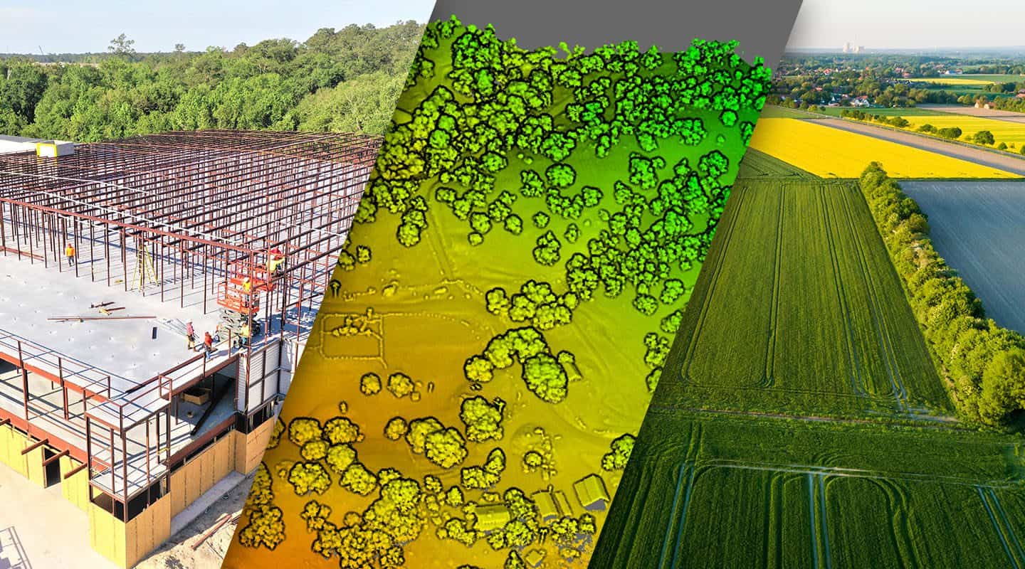
Do you need high-quality aerial data for your projects? From coast to coast, above and beyond, FlyGuys has you covered.
We are a trusted nationwide provider offering top-notch drone solutions to help you capture valuable aerial insights. Whether you’re a business owner, a surveyor, or an industry professional, our comprehensive services and expertise will revolutionize how you gather data and monitor your projects.
FlyGuys understands your business is diverse and ever-evolving, so we offer scalable solutions adapting to your needs. From one job to hundreds of projects, our experienced team and innovative drone technology handle the workload efficiently and effectively, helping you meet your clients’ demands without compromise.
Nationwide Reach, Unlimited Possibilities
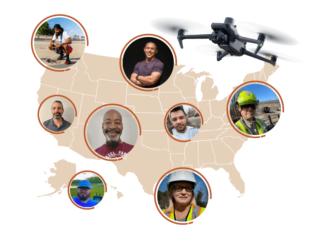
With FlyGuys as your partner, there are no boundaries. Our nationwide services allow us to be wherever your projects lead. With expertise and resources in any US location, we will deliver exceptional aerial data collection services for you and your clients, no matter where you’re based.
Affordable Partnership, Lucrative Opportunities
Partner with FlyGuys and open new revenue streams. Our affordable pricing lets you expand services and offer competitive rates to your clients. Leverage our expertise and equipment to expand services, boost profitability, and gain a competitive edge in the market.
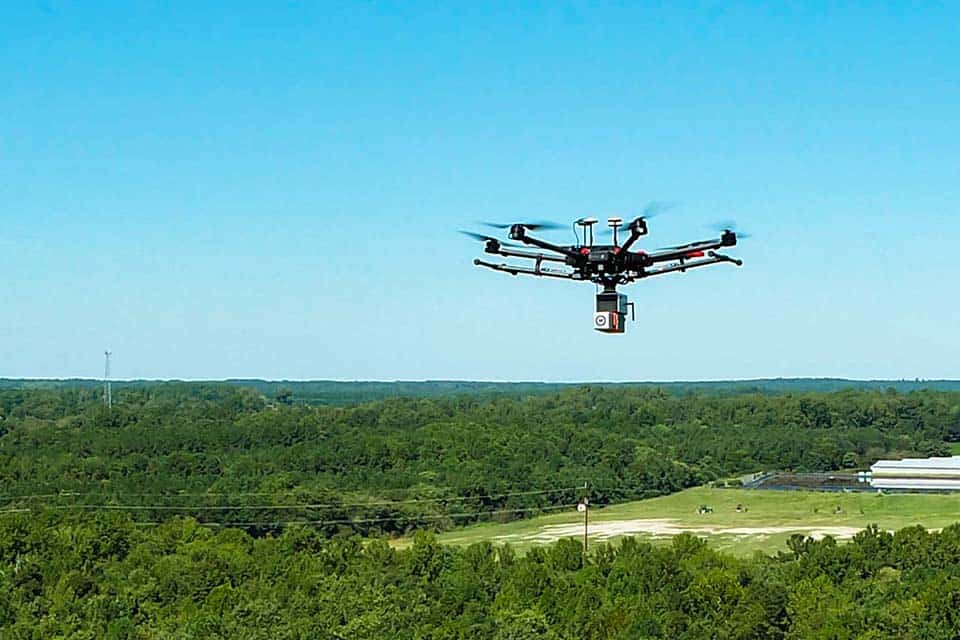
Consistency in Data Collection
Consistency is key in aerial data. Our strict quality standards ensure every project meets expectations. With our state-of-the-art drone technology and certified pilots, we consistently capture accurate and reliable data. Trust us for consistent data across projects, empowering confident and informed decision-making.
Meet FlyGuys’ Partners
See how our nationwide reach has helped our partners find scalable solutions that have opened endless opportunities.
When a utility company in Wyoming needed a comprehensive inspection of 120 miles of power lines, they faced a familiar dilemma: how to efficiently capture both large-scale LiDAR data and detailed imagery of individual structures across rugged, varied terrain.
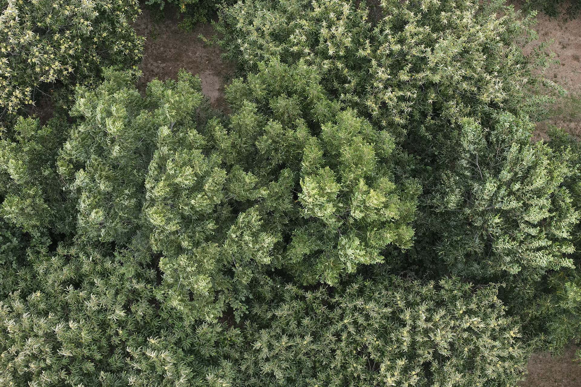
The Savanna Institute needed a scalable way to capture high-quality aerial data across agricultural sites to support research and land management initiatives. FlyGuys deployed its nationwide pilot network to deliver consistent imagery and data collection, enabling more efficient analysis of land conditions and crop systems. The result: faster insights and improved decision-making for advancing sustainable agroforestry practices.
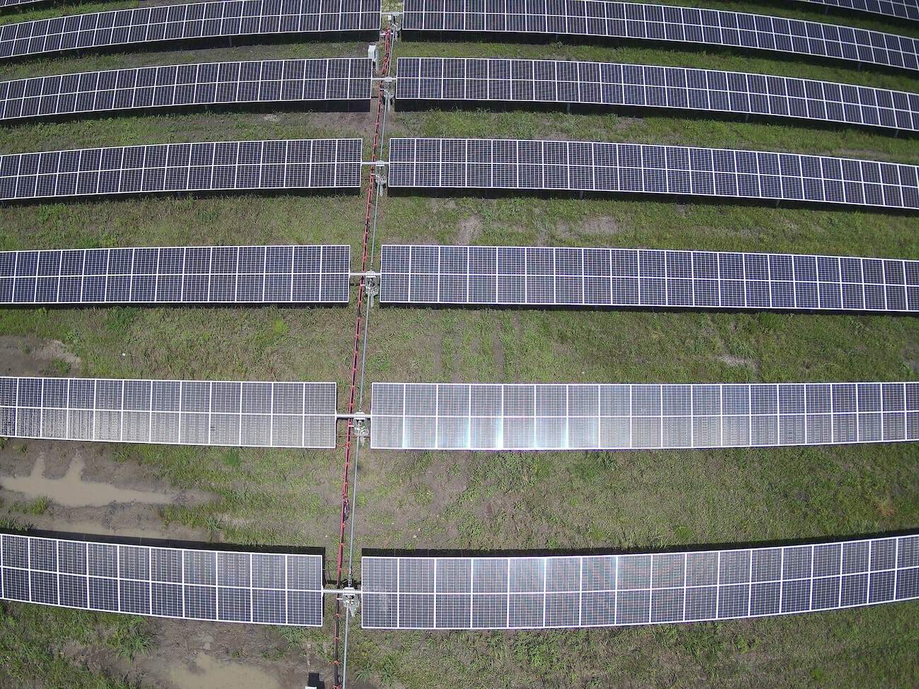
Raptor Maps needed a scalable way to collect consistent, high-quality thermal data across solar sites nationwide without building an internal drone program. FlyGuys deployed its coast-to-coast pilot network to capture standardized thermal imagery, enabling Raptor Maps to focus on analytics and reporting. The result: faster inspections, reduced overhead, and a streamlined path from data capture to actionable solar insights.
Learn More
Outcome
Partner with FlyGuys Today
Are you ready to elevate your aerial data collection to new heights? Partner with us to offer your clients unparalleled services and access to the most advanced drone technology. With our ability to collect data anywhere in the US, we’ll transform how you gather data and deliver exceptional results.
“We needed a quick turnaround on a substantial LiDAR project. FlyGuys responded and arranged the service quickly. The work was performed professionally and we received high-quality assets. We will be working with FlyGuys for the foreseeable future.”
William Hayes
“The project was fruitful and eye-opening. It gave us a glimpse of what’s possible. FlyGuys didn’t just deliver; they came back, refined the data, and made sure the final product truly met expectations. Their communication and commitment to quality really stood out.”
–Scott Prather, Public Relations Manager, LFT Fiber
Our previous drone imagery lacked sufficient resolution to allow for accurate detection of chestnuts in individual tree canopies. FlyGuys was able to provide drone and sensor kits that significantly improved image quality. As we have analyzed this data over the last 6 months, we have been extremely happy with the accuracy of the models we have been able to build.
–Scott Brainard, PhD. Tree Crop Breeder
Seamless Scalability, Nationwide Reliability: Partner with Us Today
Don’t miss out on this opportunity to revolutionize your data collection process. Contact us now to explore how FlyGuys can be your trusted partner in aerial data services. Let us help you soar above the competition and unlock the true potential of your projects.
No matter where your project is located, FlyGuys connects you with certified, FAA-compliant drone pilots ready to capture the data you need—quickly, safely, and reliably.
Request a quote today and let our team match you with the right drone solution for your project.
Please note that we are currently unable to assist in the search for missing pets. This limitation is due to the specific challenges and regulations associated with using drones for such purposes.