
The Changing Face of Urban Planning: LiDAR and Future Cityscapes
Discover the future of urban planning with LiDAR. Explore how it creates stunning 3D city models and empowers data-driven decisions.
Category
Discover the future of urban planning with LiDAR. Explore how it creates stunning 3D city models and empowers data-driven decisions.
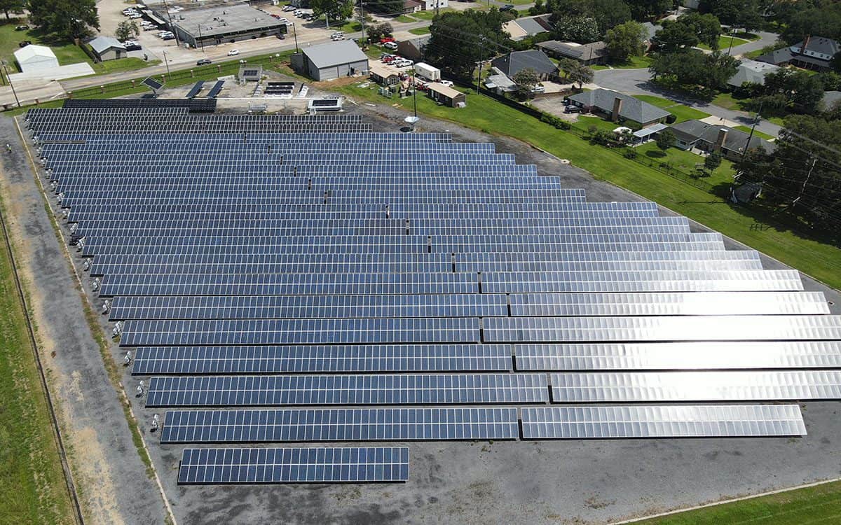
See behind the scenes of a thermal inspection at University of Louisiana's solar farm with the FlyGuys team.
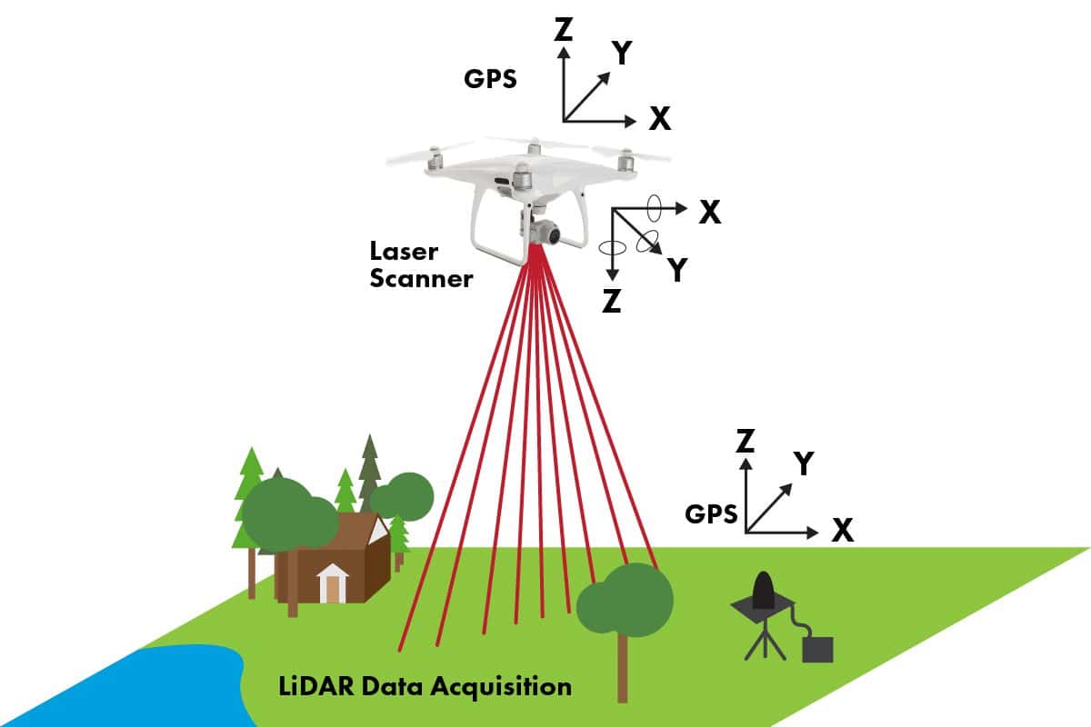
How LiDAR is transforming urban development and 3D mapping, pushing boundaries and setting new industry standards.
We discuss the advantages of drones for inspections, describe why your company should work with them, and review common applications.
We’re exploring how using drone data in your surveying business can save time, increase profit, and allow you to take on bigger projects.
Traditional land surveying or drone surveying: which is right for your project? We’re weighing which one may be right for you.