
Kevin O’Leary Interviews FlyGuys’ Joe Stough On the Transformational Future of Drones, Reality Data, and AI
Find out how LiDAR can save you time and money
Category
Find out how LiDAR can save you time and money
Find out how LiDAR can save you time and money

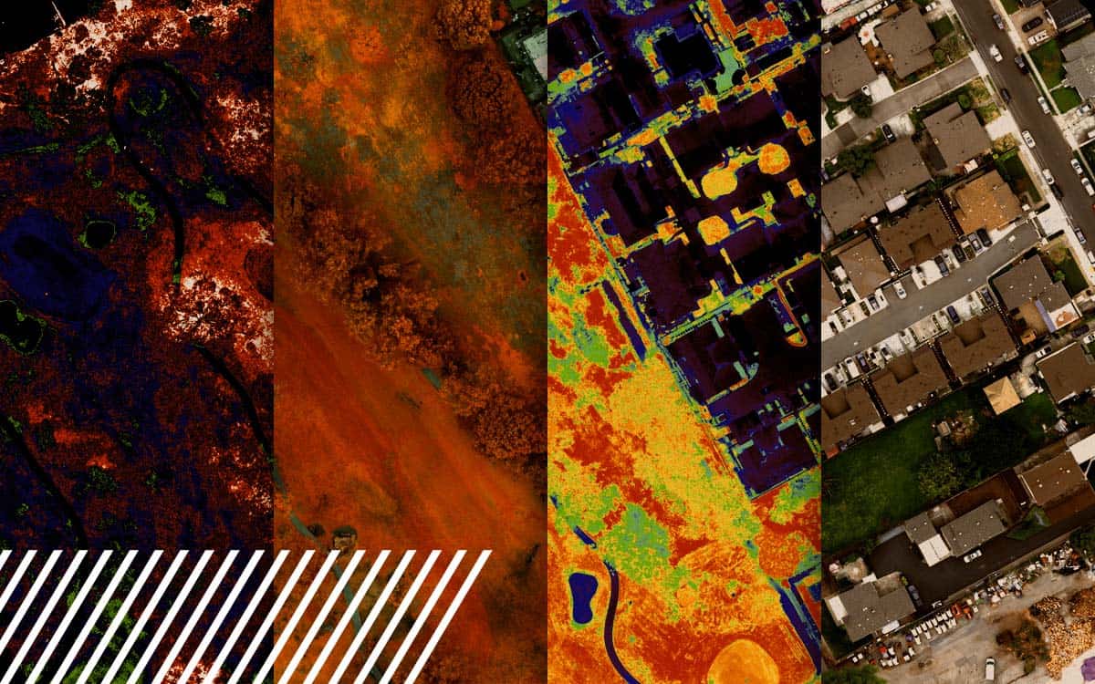
Explore the power of multispectral imaging in agriculture. Enhance crop health, disease prevention, and resource management.
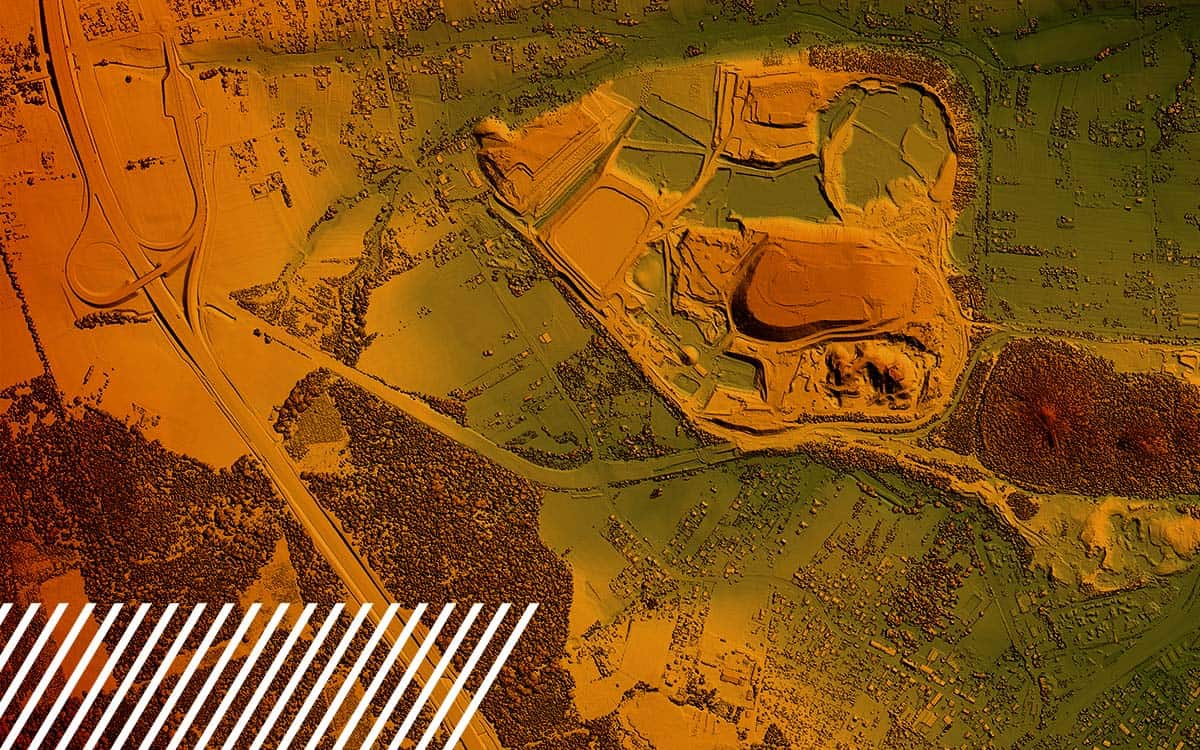
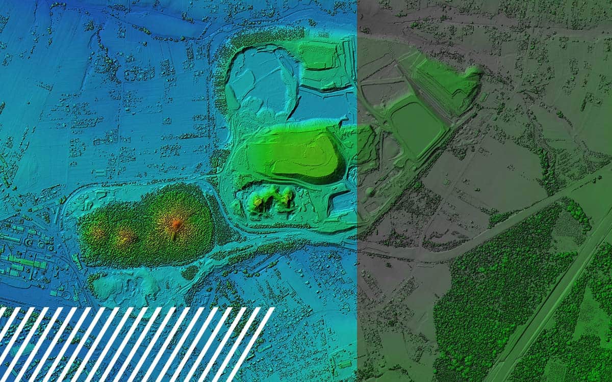
Discover the capabilities and limitations of LiDAR technology while dispelling common misconceptions about its various applications.
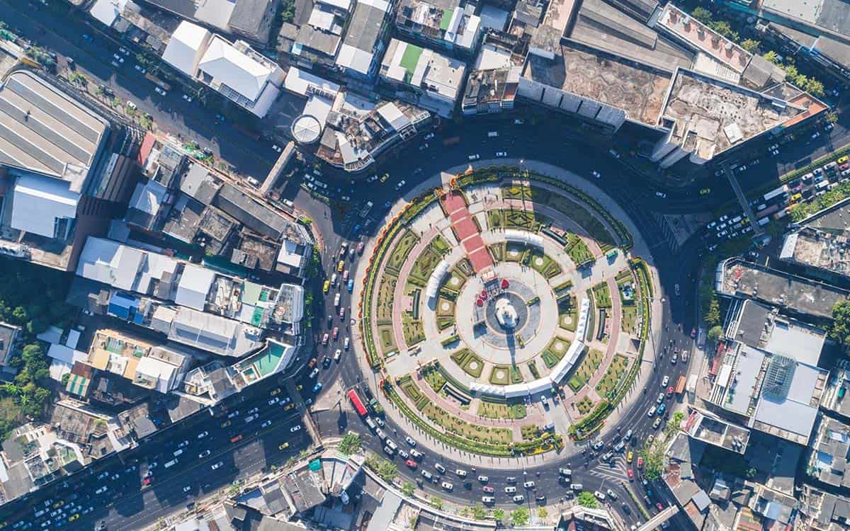
Discover the future of urban planning with LiDAR. Explore how it creates stunning 3D city models and empowers data-driven decisions.