
Scaling Your Business with Aerial Data in 2026: Beyond In-House vs. Outsourced Drone Programs
AI-powered aerial data helps businesses scale faster and make smarter decisions.
Tag
AI-powered aerial data helps businesses scale faster and make smarter decisions.

How to identify the right level of compliance for NDAA, Green, or Blue approved drones.

Drone inspection services for large construction projects: tools, tech, and best practices
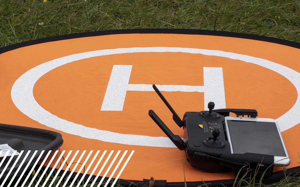
Why drone programs stall—and how to turn aerial data into faster, real decisions.

Is your data capture slowing you down? Learn how to speed it up and improve efficiency fast.

Build repeatable, scalable agriculture data workflows to drive efficiency and better decisions

RGB vs multispectral imagery: how to choose the right drone data for agriculture.

See how a parternship between Optelos and FlyGuys turn reality data into AI-powered utility insights.

How utilities use asset-level data collection to manage wildfire, storm, and PSPS risk.
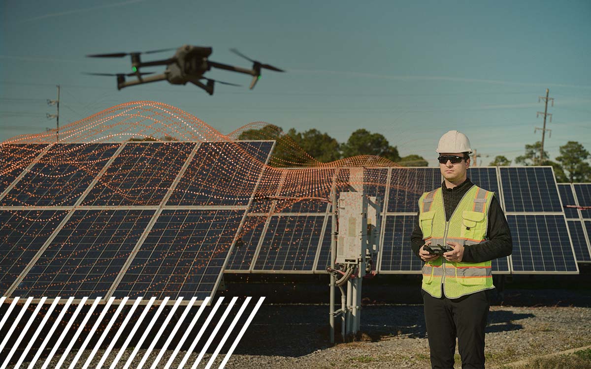
How AI and machine learning are transforming data collection operations and drone pilots

How quality assurance/quality control ensures accurate, high-quality drone data.

AI fails without quality reality data. Learn why FlyGuys is the pipeline powering reliable AI insights.