North Carolina Drone Services
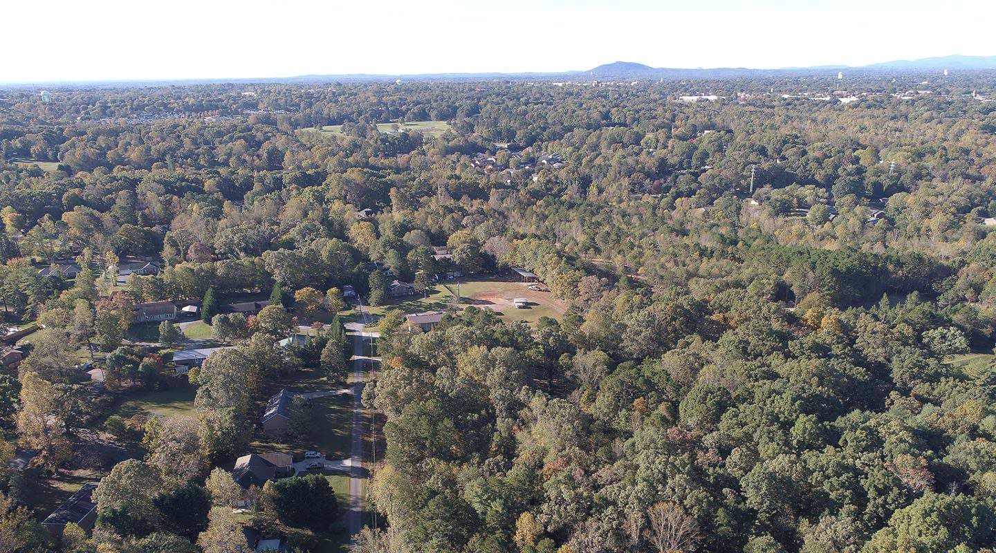
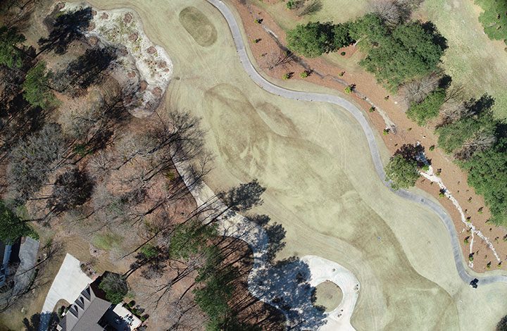
Aerial Photos
Get stunning aerial shots from any angle for marketing material to thermal imaging. Our drones can capture images for video or still photos from hard-to-reach locations.
Marketing & Media
Create a professional, broadcast-quality video. Infuse music, text, and animation to produce amazing marketing videos to deliver your core message and raise brand awareness.
Drone Inspections
Send a drone to hazardous inspection sites such as cell towers, pitched roofs, bridges, and hard-to-reach locations. Decrease safety risks for your employees by launching drones.
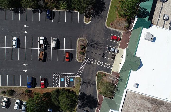
Progress Monitoring
Get aerial vantage points on your assets and projects. Monitor the progress of your construction site from your office.
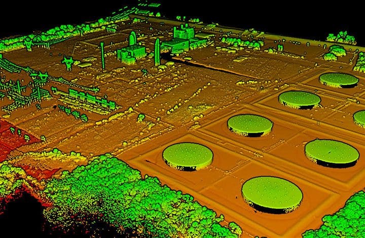
LiDAR
Licensed surveyors and engineering firms can use our state-of-the-art LiDAR drone services to save money and time on projects.
Nationwide Drone Service Serving the State of North Carolina
FlyGuys provides drone services and LiDAR services to major cities and surrounding areas in North Carolina. We can handle projects of any size across various industries and employ the latest technology.
Our experienced drone pilots are on hand to provide proven drone service solutions to meet your needs. FlyGuys can capture aerial photos of properties, construction sites, and events in your area.
Bring Your Project to New Heights in Three Easy Steps
Request a Quote
We will provide a free consultation to learn about your project and give you a customized quote.
Schedule Your Flight
We will match your project with a professional and licensed drone pilot in your area.
Receive Your Data
You will receive all necessary deliverables in expertly packaged and instantly usable formats.
Available to Help Across North Carolina
Charlotte
Drone service solutions for the Charlotte area, including Mount Holly, Kings Mountain and South Carolina.
Wilmington
Drone service solutions for the Wilmington Coast area from Myrtle Beach to Fayetteville.
Raleigh
Drone service solutions for Raleigh, including Durham, Holly Springs, Wake Forest and Morrisville.
Winston-Salem
Drone service solutions for Winston-Salem, Greensboro, High Point and Mount Airy.
Scale Your Business With Data From Above
See how our drone services can take your projects to new heights.
Drawing on extensive experience across various industries and employing the latest technology, FlyGuys is equipped to handle projects of any size.
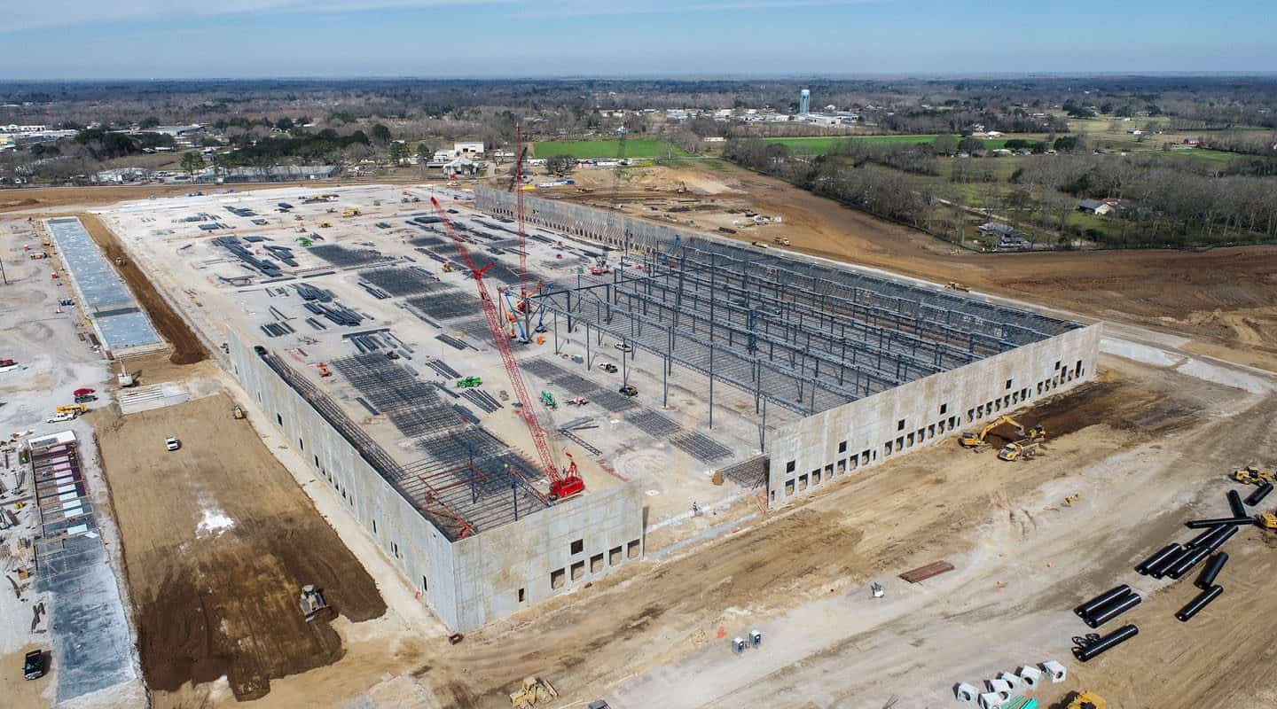
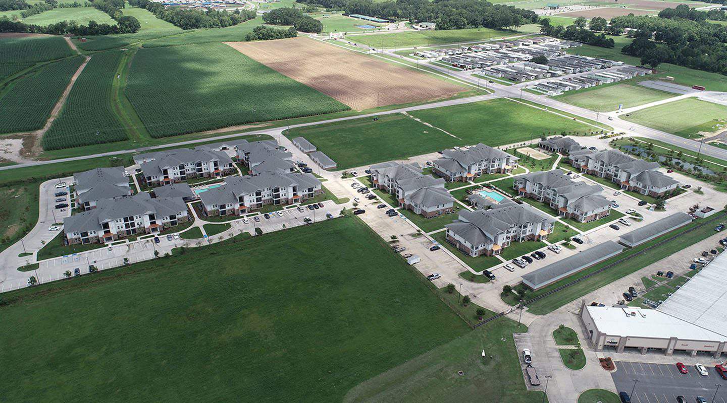
Construction
Capture aerial photos to manage all stages of the construction progress while meeting deadlines, staying within budget, and providing accurate information to stakeholders along the way.
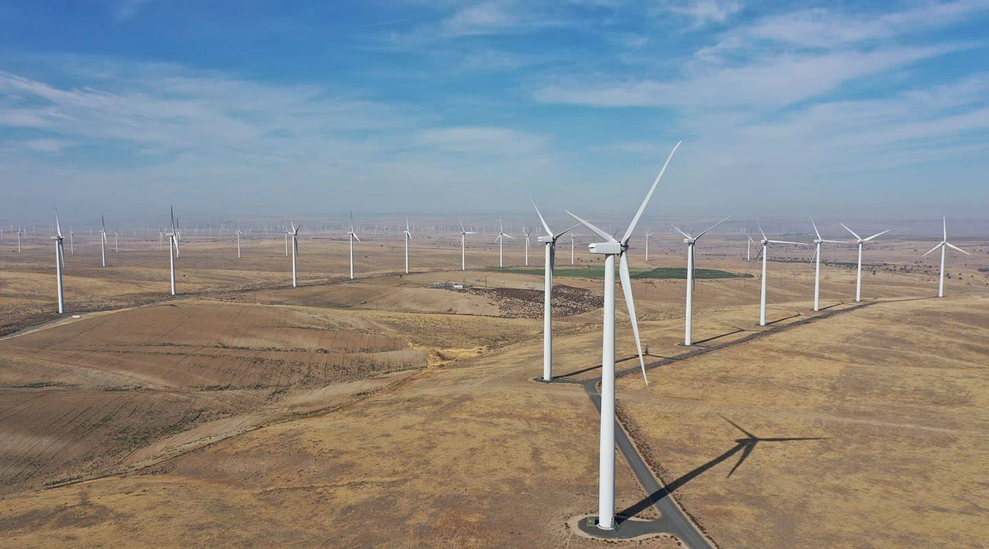
Energy
Get solar inspections with 3D modeling, LiDAR, and industrial photogrammetry. Decrease safety risks in wind turbine and cell tower inspections.
Industrial
Capture aerial photos to manage all stages of the construction progress while meeting deadlines, staying within budget, and providing accurate information to stakeholders along the way.
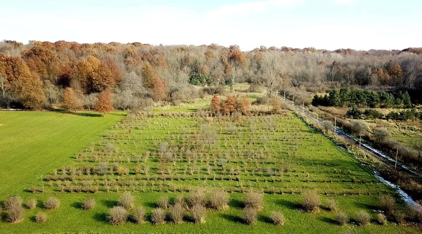
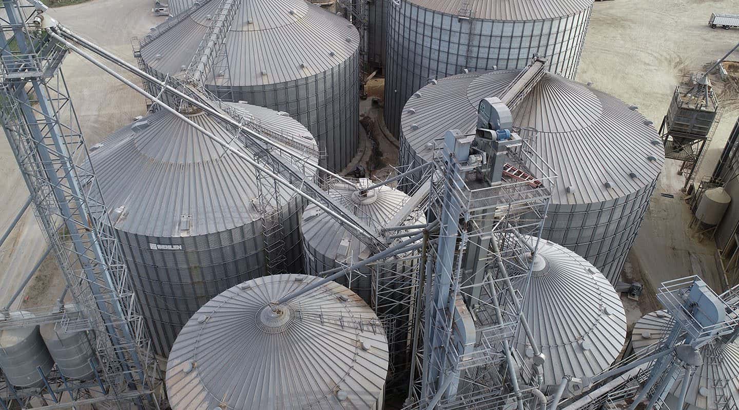
Agriculture
Gain valuable data across hundreds of acres quickly and easily to manage irrigation, monitor crop growth, and improve your outputs year after year.
Real Estate
With drone photography, you will provide your clients with stunning imagery and receive more leads, faster sales, and future listings. Why wouldn’t you use drone imagery as part of your marketing package?
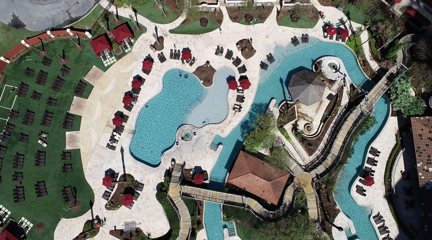
Hospitality
With our gorgeous high-resolution aerial photography and video, you can create eye-catching marketing pieces that will entice guests to book with you.
Get A Quote
Take Your Project To New Heights
No matter where your project is located, FlyGuys connects you with certified, FAA-compliant drone pilots ready to capture the data you need—quickly, safely, and reliably.
Request a quote today and let our team match you with the right drone solution for your project.
Please note that we are currently unable to assist in the search for missing pets. This limitation is due to the specific challenges and regulations associated with using drones for such purposes.