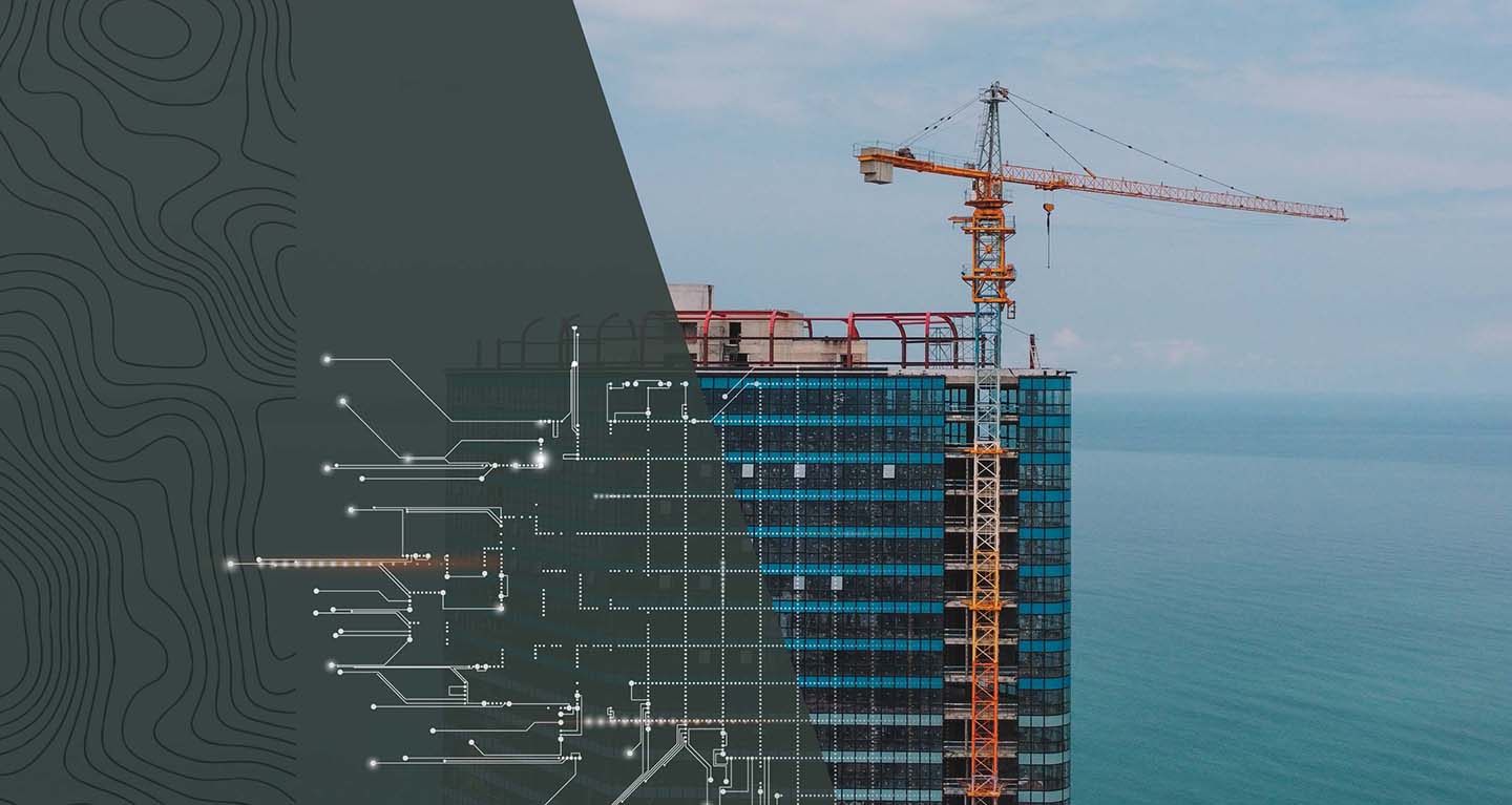
AI is Only as Smart as Its Data—Fuel Yours with High-Resolution, Geospatial Intelligence
FlyGuys delivers AI-ready aerial imagery, LiDAR, thermal, and multispectral data to power computer vision, predictive analytics, and geospatial intelligence for AI-driven solutions. Whether you need real-time asset monitoring, infrastructure inspections, construction progress tracking, or insurance risk assessments, we provide the precise, structured data your AI software relies on.
AI thrives on real-world data, and FlyGuys is your trusted partner in capturing it. From natural landscapes to complex industrial environments, we deliver high-resolution, actionable datasets to fuel your AI software.
The Places We’ll Go
FlyGuys is more than a provider – we’re partners in solutions. Our specialized services can help take your project to the next level. Venture forward with us.
AI-driven solutions rely on precise, high-quality data, but acquiring accurate reality data at scale is a challenge. FlyGuys bridges the gap between the physical world and AI-powered analytics, delivering geospatially accurate, AI-ready data for computer vision, digital twins, predictive maintenance, and automated inspections.
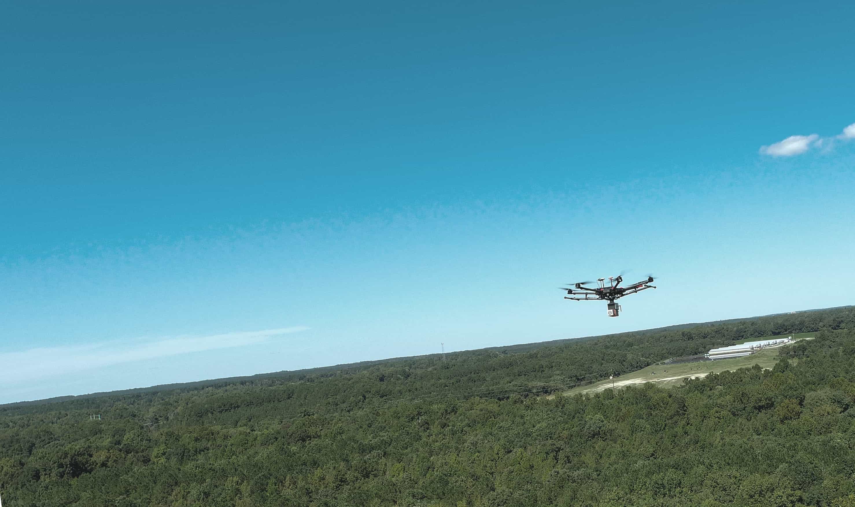
With nationwide drone-captured Orthomosaic mapping, LiDAR point clouds, thermal imaging, and 3D reconstruction, we provide the structured data needed for machine learning models, asset inspections, and risk assessments. SaaS platforms seamlessly integrate our geospatial data, photogrammetry, and precision analytics to enhance infrastructure monitoring, construction tracking, and structural assessments.
Power your AI with real-world intelligence.
Nationwide Coverage
Access precision data capture services wherever your need them. We are local everywhere.
AI-Ready Data
Seamlessly integrate your data into your AI systems for faster results.
High-Tech Tools
Leverage advanced technologies like LiDAR, photogrammetry, and thermal imaging.
Expert Support
Partner with a team that understands your needs and delivers white glove service.
FROM REALITY TO RESULTS
STEP 1: DEFINE YOUR NEEDS Share your goals, and we’ll create a data collection plan.
STEP 2: CAPTURE THE DATA Our network of drone pilots collects precise, high-quality data.
STEP 1: DELIVER ACTIONABLE INSIGHTS Receive structured, AI-ready datasets tailored to your requirements.
“We needed a quick turnaround on a substantial LiDAR project. FlyGuys responded and arranged the service quickly. The work was performed professionally and we received high-quality assets. We will be working with FlyGuys for the foreseeable future.”
William Hayes
“The project was fruitful and eye-opening. It gave us a glimpse of what’s possible. FlyGuys didn’t just deliver; they came back, refined the data, and made sure the final product truly met expectations. Their communication and commitment to quality really stood out.”
–Scott Prather, Public Relations Manager, LFT Fiber
Our previous drone imagery lacked sufficient resolution to allow for accurate detection of chestnuts in individual tree canopies. FlyGuys was able to provide drone and sensor kits that significantly improved image quality. As we have analyzed this data over the last 6 months, we have been extremely happy with the accuracy of the models we have been able to build.
–Scott Brainard, PhD. Tree Crop Breeder
FUELING AI ACROSS SECTORS
From established sectors to the frontiers of innovation, FlyGuys delivers the data your need to power your AI. If your industry is just beginning its AI journey, we’re here to ensure your data is ready to meet the challenge.
Agriculture
AI-powered agritech platforms rely on high-resolution multispectral and NDVI imagery to monitor crop health, optimize irrigation, and detect early signs of disease. FlyGuys provides drone-based data solutions that enhance precision farming, yield forecasting, and large-scale environmental analysis.
Infrastructure
AI-driven construction and asset management platforms require real-time site intelligence for progress tracking, structural assessments, and digital twin modeling. FlyGuys delivers LiDAR scans, photogrammetry, and volumetric measurements to improve efficiency, safety, and predictive maintenance.
Energy
Renewable energy and utility companies use AI and geospatial analytics to optimize asset performance, track solar farm development, and detect infrastructure failures. FlyGuys provides thermal imaging, orthomosaic mapping, and LiDAR terrain data to enhance energy efficiency and predictive maintenance strategies.
Technology
AI-driven platforms in telecommunications, smart infrastructure, and industrial automation rely on high-accuracy geospatial data for predictive modeling, automated inspections, and network optimization. FlyGuys captures AI-ready aerial imagery, LiDAR, and 3D modeling to support advanced analytics and machine learning applications.
FlyGuys powers AI with precise, scalable data solutions, helping industries drive automation, improve decision-making, and enhance operational efficiency.
Emerging Industries
As AI evolves, so do its applications. Whether you’re pioneering in a new field or addressing an emerging need, FlyGuys is your trusted partner for precise data collection.
Get A Quote
LET’S POWER YOUR AI TOGETHER
Partner with FlyGuys to unlock the full potential of your AI software.