
Kevin O’Leary Interviews FlyGuys’ Joe Stough On the Transformational Future of Drones, Reality Data, and AI
Find out how LiDAR can save you time and money
Tag
Find out how LiDAR can save you time and money
Find out how LiDAR can save you time and money

Find out how LiDAR can save you time and money

Find out how FlyGuys integrates with your AI to fuel your business.

Find out how FlyGuys integrates with your AI to fuel your business.
Find out how FlyGuys integrates with your AI to fuel your business.

Find out how FlyGuys integrates with your AI to fuel your business.

Find out how FlyGuys integrates with your AI to fuel your business.

Find out how FlyGuys integrates with your AI to fuel your business.

Find out how FlyGuys integrates with your AI to fuel your business.

Find out how FlyGuys integrates with your AI to fuel your business.
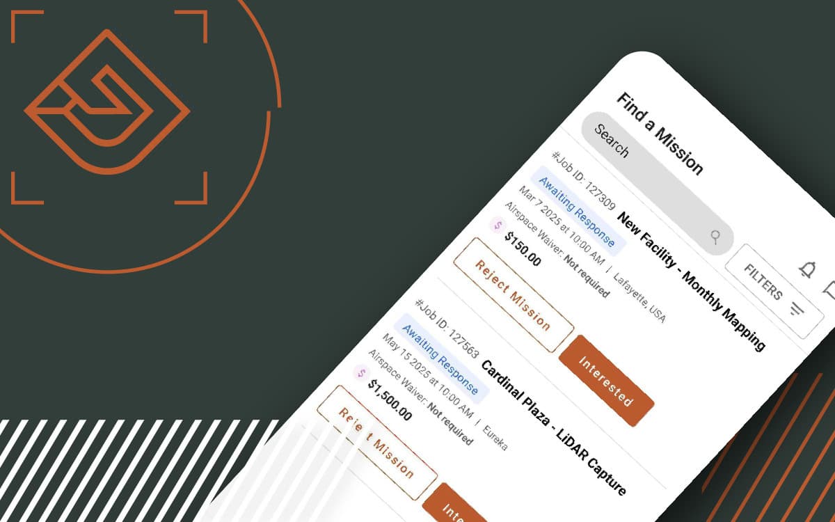
Find out how FlyGuys integrates with your AI to fuel your business.