
Rapid Disaster Intelligence
How Terrafort and FlyGuys Helped Accelerate Recovery Following Typhoon Sinlaku
Summary
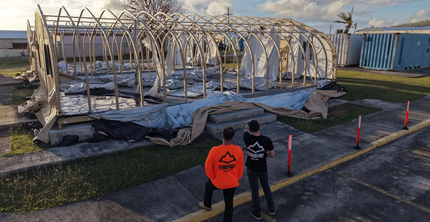
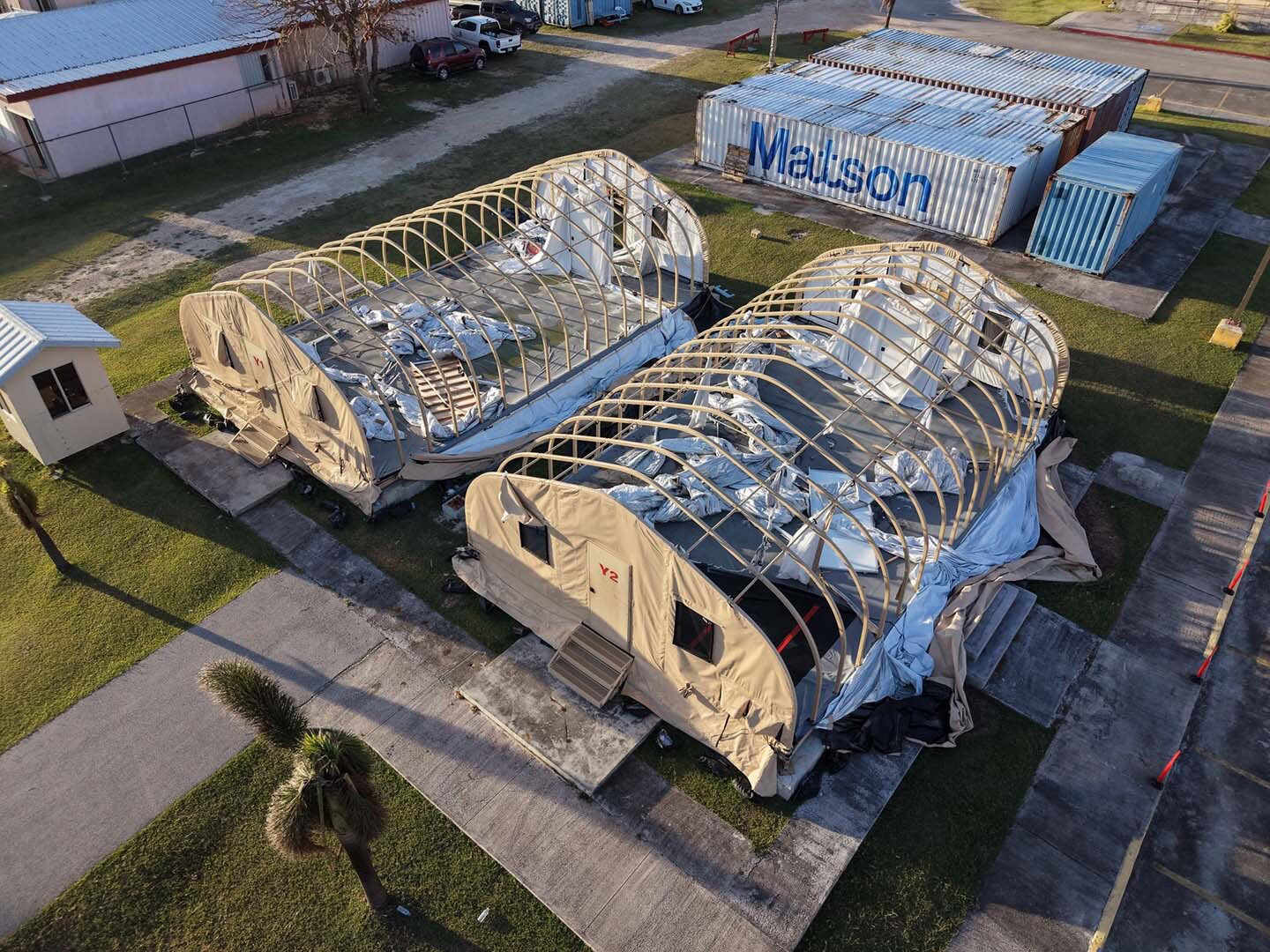
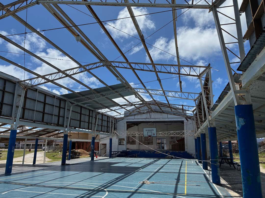
When Typhoon Sinlaku struck the Northern Mariana Islands in April 2026, it devastated Saipan and Tinian with Category 4 winds exceeding 180 mph, crippling power, communications, and critical infrastructure. Emergency responders needed accurate damage assessments immediately to prioritize life-saving resources, support FEMA disaster declarations, and help relief organizations direct aid where it was needed most.
Terrafort, a disaster intelligence software platform designed for response and recovery coordination, partnered with FlyGuys, a reality data capture software platform, to rapidly deploy aerial data collection across the affected islands. Leveraging FlyGuys’ nationwide pilot network, field logistics expertise, and resilient communications capabilities, the teams completed aerial assessments of more than 4,100 residential structures in just 10 days—a process that otherwise could have taken months.
The result was faster decision-making, accelerated disaster assistance, and critical intelligence that helped government agencies and humanitarian organizations begin recovery sooner.
The Challenge
Following Typhoon Sinlaku’s landfall on April 14, virtually every aspect of emergency response became more difficult.
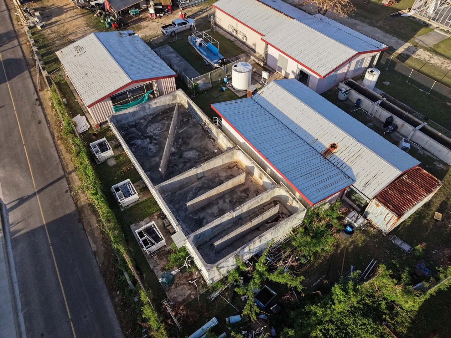
Saipan and Tinian experienced widespread power failures that also disabled water treatment systems and much of the islands’ communications infrastructure. Roads, airports, lodging, transportation, and internet connectivity were all impacted, making it difficult for responders to reach affected communities and share information.
For organizations like the American Red Cross, local governments, and FEMA, rapid damage assessments were essential.
Without reliable aerial intelligence, emergency managers would have struggled to answer critical questions:
- Which neighborhoods sustained the greatest damage?
- How many homes were destroyed?
- Where should shelter, water, and emergency resources be deployed first?
- Did damage thresholds meet FEMA requirements for a Major Disaster Declaration?
Traditional ground assessments across thousands of structures would have taken weeks, delaying aid to families displaced by the storm.
The Solution
Terrafort partnered with FlyGuys because it needed more than aerial imagery. It needed a trusted operational partner capable of deploying quickly anywhere disaster strikes.
With a nationwide network of more than 21,000 FAA-certified drone pilots, FlyGuys offered the geographic reach and scalability Terrafort could not replicate internally.
FlyGuys supported the mission by providing:
- A highly experienced pilot familiar with the region
- Rapid mission and pilot coordination
- White-glove communication before, during, and after deployment
- High-resolution aerial imagery collection
- Starlink satellite connectivity for data transfer
- Operational coordination between field crews and the Terrafort platform
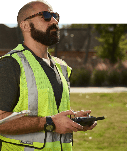
In addition to aerial data capture, FlyGuys worked alongside Terrafort to overcome logistical obstacles, including pilot housing, transportation, generator access, battery management, and communications planning, allowing the pilot to remain focused on mission execution.
Together, the organizations transformed complex field operations into a streamlined disaster intelligence workflow.

Implementation Process
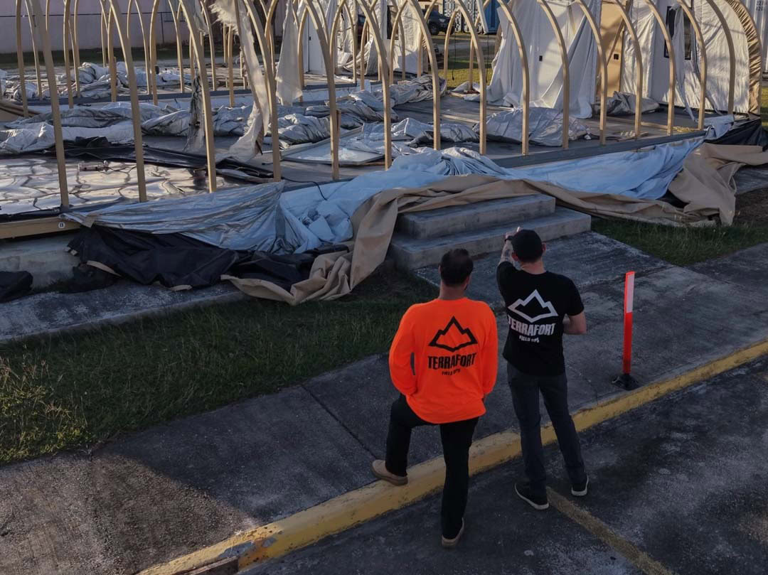
Terrafort identified priority areas of interest based on population density and critical infrastructure immediately after the storm.
FlyGuys rapidly coordinated pilot deployment despite damaged airport infrastructure and limited transportation into the islands.
Once airborne, the pilot captured approximately one terabyte of high-resolution imagery across residential communities.
Because cellular networks and traditional internet services had failed, TerraFort deployed Starlink satellite communications, allowing imagery to be uploaded directly to the cloud for processing.
Within the Terrafort platform, AI-powered damage assessment algorithms analyzed the imagery and produced actionable intelligence that was delivered to:
- American Red Cross
- Commonwealth of the Northern Mariana Islands (CNMI)
- Local emergency management agencies
From landfall on April 14 to completed imagery collection and processing on April 22, the project demonstrated what coordinated drone operations can accomplish under some of the most difficult disaster conditions imaginable.
OUTCOME
Results & ROI
Metric Highlights
- 4,135 residential structures assessed
- 991 structures identified as destroyed
- 2,267 structures with major damage
- 739 structures with minor damage
- 138 structures classified as affected
- Approximately 1 TB of aerial imagery collected
- 10-day turnaround from disaster to actionable intelligence
Operational Impact
The rapid availability of aerial imagery significantly accelerated disaster response.
Instead of waiting one to two months for manual assessments, emergency managers received actionable intelligence in just 10 days.
That speed enabled:
- More efficient infrastructure damage assessments
- American Red Cross Supplemental Needs Assistance grants of $500–$1,000 for qualifying families
- Better prioritization of recovery resources for displaced residents
For communities without power, water, or communications, every day saved meant families received assistance sooner.
Testimonials
What Our Client Says
“FlyGuys is the best team we’ve ever worked with. Their sense of urgency matched ours from day one. Within 24 hours, we had a pilot identified and coordination underway. Their ability to move quickly, solve logistical challenges, and support communities during disaster response is second to none.”
— Grady Joseph, Terrafort

Looking Ahead
The success of the Typhoon Sinlaku response has led Terrafort and FlyGuys to build an even more integrated disaster response ecosystem.
The upcoming platform integration will allow emergency managers using Terrafort to task FlyGuys directly from within the software. Once activated, FlyGuys will automatically coordinate pilot deployment, collect aerial imagery, and return processed datasets directly into the Terrafort platform for AI-powered damage assessment.
By removing manual handoffs and streamlining operations, future disaster assessments can begin almost immediately after a storm passes, bringing emergency managers one step closer to near real-time disaster intelligence.
KEY TAKEAWAYS
- Rapid aerial intelligence dramatically shortens disaster response and recovery timelines.
- Operational coordination is just as important as drone technology during emergency deployments.
- Reliable satellite communications can overcome damaged infrastructure when traditional networks fail.
- Nationwide pilot coverage enables immediate response, even in remote or island environments.
- Integrated workflows between Terrafort and FlyGuys will continue reducing response times while improving situational awareness for emergency managers.
As severe weather events continue to increase in frequency and intensity, partnerships like Terrafort and FlyGuys are helping governments and humanitarian organizations make faster, better-informed decisions when communities need them most.
Get A Quote
Take Your Project To New Heights
No matter where your project is located, FlyGuys connects you with certified, FAA-compliant drone pilots ready to capture the data you need—quickly, safely, and reliably.
Request a quote today and let our team match you with the right drone solution for your project.
Please note that we are currently unable to assist in the search for missing pets. This limitation is due to the specific challenges and regulations associated with using drones for such purposes.