Multispectral Imaging Services
Maximize Clarity & Detail with Professional Multispectral Imaging
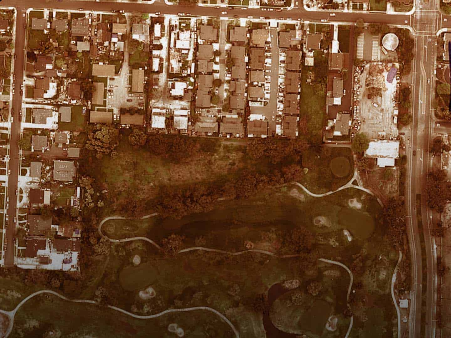
Multispectral imaging is an advanced technology that captures image data at specific wavelengths across the electromagnetic spectrum. Unlike traditional photography, which only captures visible light, our multispectral imaging services provide detailed insights by capturing multiple wavelengths, including those beyond the visible spectrum. This comprehensive data enables enhanced detection and precision, making it invaluable across various industries.
Benefits of Multispectral Imaging:

Enhanced Detection
Identifies features invisible to the naked eye.

Precision
Provides detailed data for targeted interventions.

Efficiency
Covers large areas quickly, saving time and resources.
How Multispectral Imaging Works
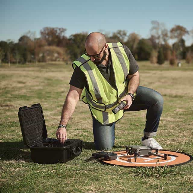
Our multispectral imaging process begins with deploying drones equipped with multispectral sensors, which capture multiple images at different wavelengths as they fly over an area. These images are then processed and layered to create comprehensive, actionable data for analysis. This process includes calibrating sensors for accuracy before each flight, ensuring consistent data quality.
Types of Data Captured

Who Needs Multispectral Imaging?
Applications by industry:

Agriculture
Optimize crop management by monitoring vegetation health, detecting diseases early, and improving resource efficiency.

Environmental Monitoring
Track ecosystem health, monitor biodiversity, and assess the impact of environmental stressors.

Urban Planning
Evaluate urban green spaces, detect heat islands, and monitor infrastructure conditions.

Multispectral Imaging as a Premium Service
At FlyGuys, we’re proud to offer multispectral imaging as a premium service because we believe in delivering the best. Our in-house drone pilots are not just skilled—they’re experts who’ve undergone rigorous training to master our high-performance multispectral sensors. We use top-tier equipment to ensure that every mission provides precise and reliable data. This service is carefully tailored to meet your specific needs, no matter the industry, reflecting our commitment to providing you with exceptional quality and results you can trust.
Custom Solutions
Need a custom solution? Contact us to discuss how we can tailor our services to meet your specific needs.
Get A Quote
Take Your Project To New Heights
Whether the project takes us to a major metropolitan city, a mid-sized town, or a rural area far away from civilization, we’re ready to deploy FAA-certified pilots and follow stringent safety measures. Connect with FlyGuys for a quote, and let’s explore the right solution for you.
Please note that we are currently unable to assist in the search for missing pets. This limitation is due to the specific challenges and regulations associated with using drones for such purposes.