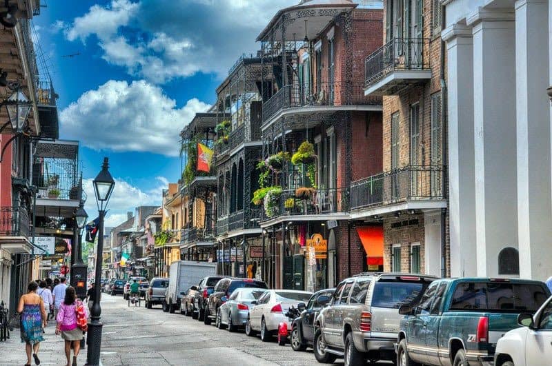
Drone Services in New Orleans
your one stop shop for all your data collection needs
FlyGuys offers comprehensive drone services in New Orleans and the surrounding area. We are able to collect the following data sets; LiDAR, RGB, infrared or thermal, and multispectral. With competitive pricing, a quick turnaround, and high quality deliverables FlyGuys is your one stop shop for all your data collection needs. Schedule a consultation to learn how we can help make your next project a success.
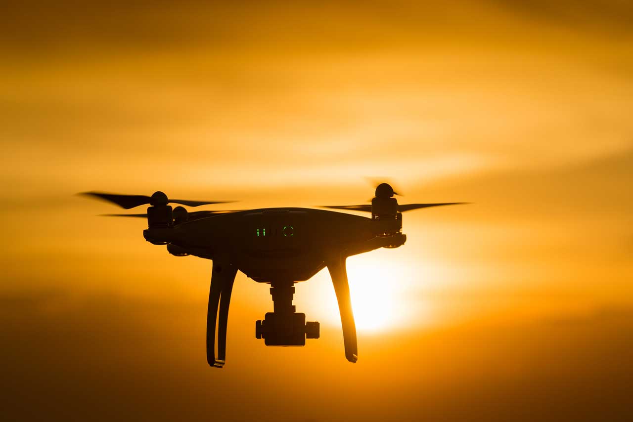
UAV & Drone Services in New Orleans
Drones are versatile tools that make it possible to capture and record a wide variety of data and information far beyond high-resolution photography and images. We use highly advanced sensors, such as the Riegl MiniVux LiDAR sensor, and innovative cameras that allow us to provide more services and capture data that can be processed into 3D maps, models, and renderings.
LiDAR Services
We use best in class equipment, including the Riegl MiniVux LiDAR sensor and can scan up to 500 acres per day. The scans are combined with GPS and inertial measurement with each laser pulse creating a data point within a three-dimensional grid to form a point cloud. The point cloud acts as the foundation to 3D maps, renderings, and more.
Drone Inspections
If your industrial facility, construction site, or other assets require regular inspections, our drone inspections save time, reduce costs, and improve safety, particularly when these sites and assets are in unsafe or challenging locations. We can provide your inspection team with detailed videos and images that can then be analyzed to determine if there are any issues.
Drone Surveying & Mapping
We assist licensed surveyors and mappers with drone data collection. Through rapid aerial image capturing and remote sensing, we are able to collect data that allows you to create maps, plan projects, and more. Combining this data with traditional data collection methods saves money and time.
Progress Monitoring
We can help you stay within a timeline, spot concerns, and keep your shareholders informed with regular progress monitoring that is both efficient and cost-effective. Our UAV pilots can scan and record a specific area at regular intervals, providing both wide aerial views and close-up images which you can then use to determine how progress is going on the project.
Aerial Photography
With high-resolution images and videos of your property, you can show it off to its best advantage. Our pilots can capture gorgeous shots of your commercial or residential property that can be used in marketing campaigns and press releases that will attract attention from investors, buyers, or those seeking a vacation spot.
Satellite Imagery
If you are in need of satellite imagery, we can provide you with the high-quality images you need while meeting your budget. With a wide variety of use cases, satellite imagery allows you to see large areas of land at one time. We supply satellite images to many industries, and we are here to assist on your next project.
Industries We Serve in New Orleans
We provide drone services in New Orleans to a wide variety of industries and organizations.
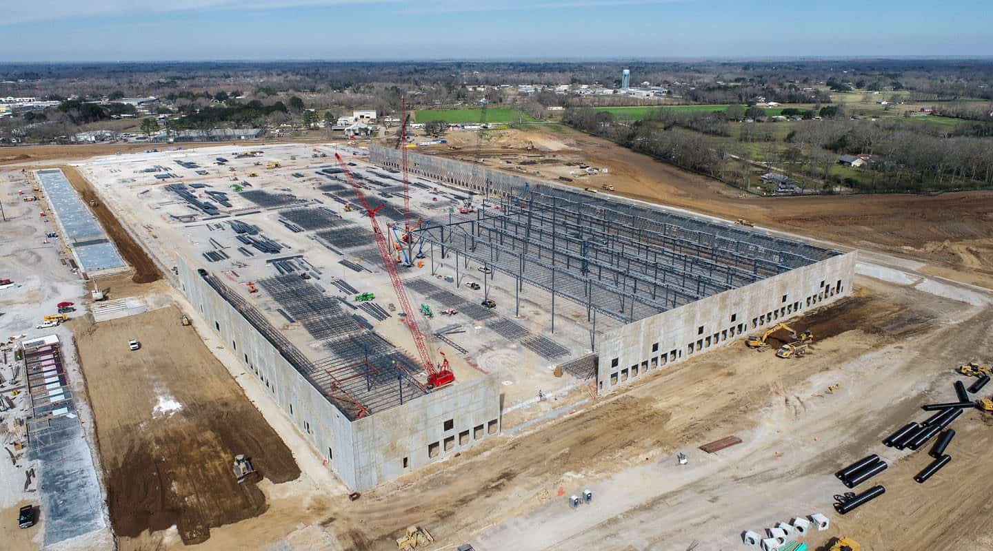
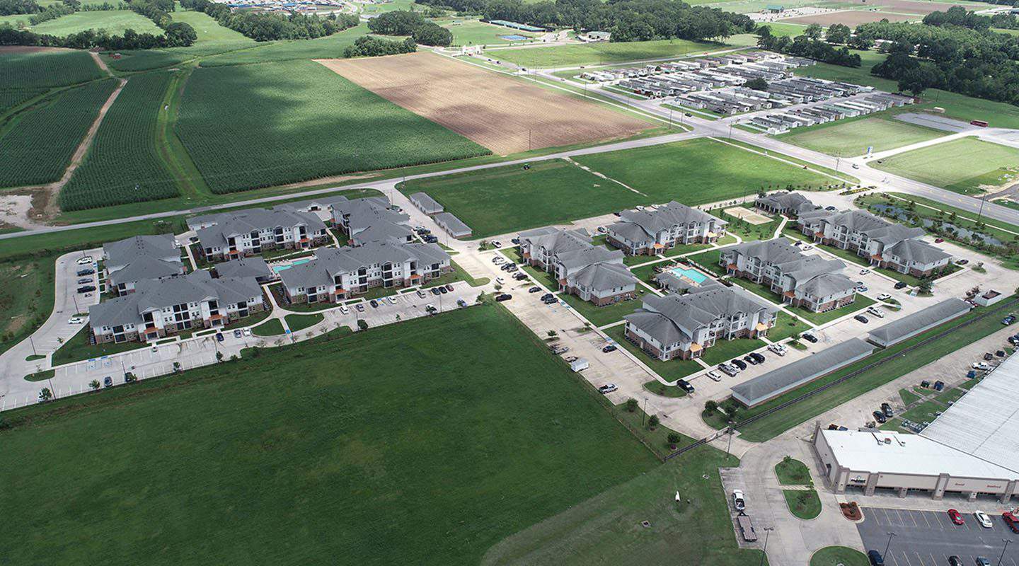
Construction
Drones can be used at nearly every stage of the construction process. Our team can provide you with datasets during the planning stages, progress monitoring and inspections during the building stage, and finally connect you with beautiful images and videos to use in your marketing campaigns and draw investors or buyers.
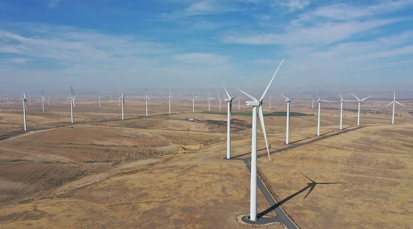
Energy
We work with solar, wind, oil, and nuclear companies in and around New Orleans to inspect and monitor assets, including oil rigs, solar farms, and nuclear facilities to keep them safe and operating smoothly.
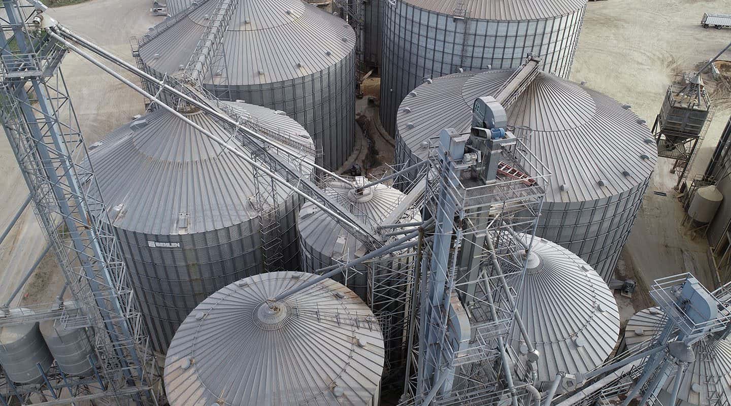
Industrial
Our UAV services are used in monitoring and inspecting refineries, manufacturing facilities, and civil infrastructure settings.
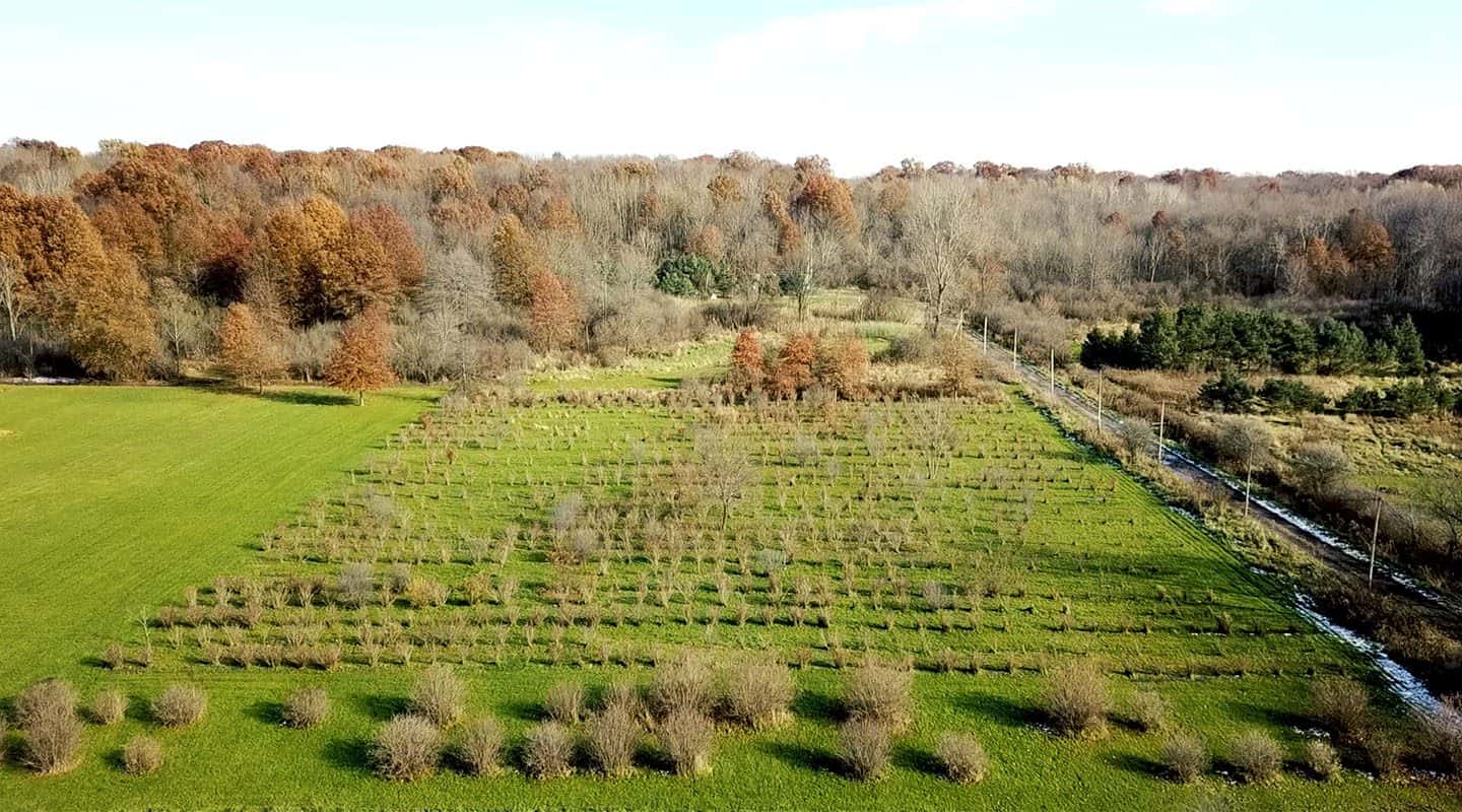
Agriculture
When you have hundreds or thousands of acres of farmland, you may not be able to monitor your crops or livestock from the ground. Instead, our drone teams can scan hundreds of acres per day, providing you with the data you need to make informed decisions, including learning the best areas for grazing, where there are areas of poor drainage, and even assess damage after a storm or flooding.
Real Estate
If you’re a real estate agent, you know how important it is to put up photos and videos that entice prospective buyers to schedule a tour. Our UAV pilots can capture beautiful shots of the homes you are selling as well as get wider shots of the surrounding area so you can show off an attractive neighborhood or highlight how close a property is to a school, park, or other amenities.
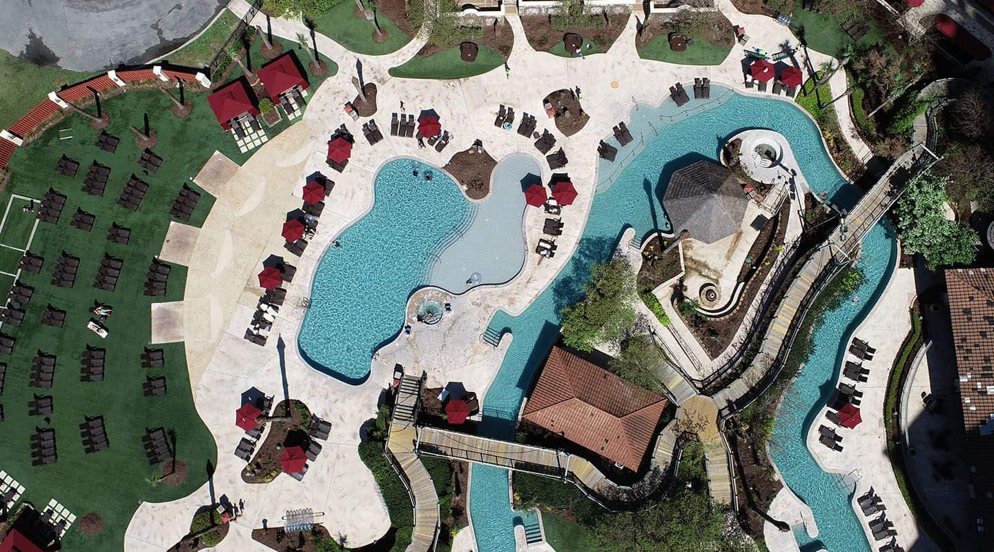
Hospitality
Book more guests at your resort, sell more tickets to your attraction, or increase membership to your country club with stunning drone images and video. We can help you create virtual tours that allow people to get a more accurate feel of your property, capture aerial images that show off your property and the surrounding area, as well as highlight amenities and scenery to entice more people.
Serving Areas Around New Orleans
Our network of FAA-certified and insured drone pilots are located all around the New Orleans area and beyond, including:
Metairie
Kenner
Belle Chasse
Gretna
Slidell
Mandeville
Covington
Hammond