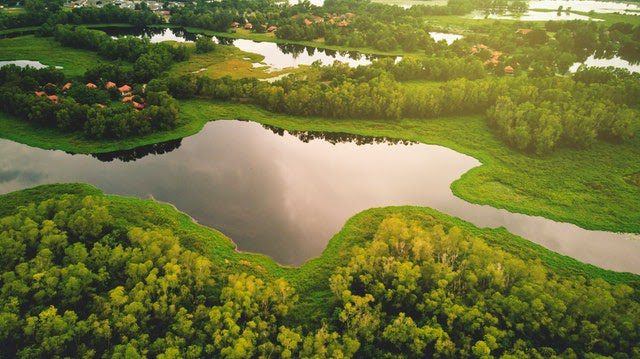
Drone Services in Lafayette, LA
experienced project managers and insured, FAA-licensed pilots
FlyGuys provides comprehensive drone services, including LiDAR, RGB, infrared or thermal, and multispectral in and around the Lafayette area. With a team of experienced project managers and insured, FAA-licensed pilots, we can work on any scale project and offer high-quality deliverables.
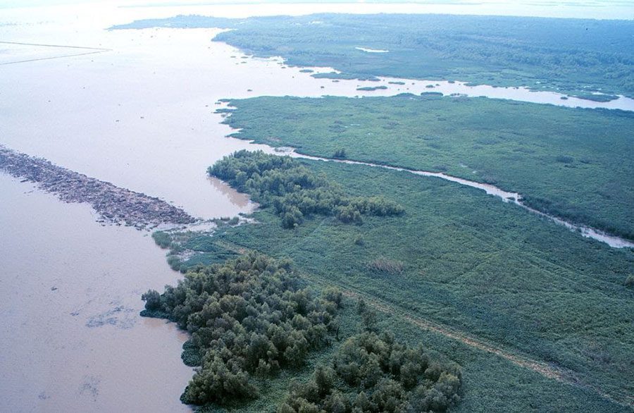
Professional Drone Services in Lafayette
FlyGuys corporate office is in Lafayette Louisiana, while we service companies and industries nationwide we thrive on helping support businesses locally. While drones are most commonly associated with high-resolution images and video, their functionality goes far beyond this. Today, industries rely on drone technology in a variety of ways, including highly sophisticated applications. FlyGuys is proud to help your organization leverage this technology and to improve safety, reduce costs, and increase productivity.
LiDAR Services
We use best in class equipment, including the Riegl MiniVux LiDAR sensor and can scan up to 500 acres per day. LiDAR technology is used in many industries, but it is particularly helpful for licensed and professional surveyors, mappers, and engineers in either heavily wooded areas or large areas of land.
Drone Inspections
Inspecting assets is necessary to ensure regulatory compliance, functionality, and safety, but it can also be a time-consuming, expensive task. With drone inspections, we can provide comprehensive, detailed videos and images of your assets, including industrial equipment.
Drone Surveying & Mapping
Using photogrammetry and remote sensing, our pilots can collect data you can then use to determine elevation, scale distance, and create three dimensional renderings that include a variety of surrounding buildings and infrastructure from your center point.
Progress Monitoring
By flying a drone over your construction site using the same flight plan at regular intervals, progress monitoring is very effective. Management teams can see the overall progress of large-scale projects to keep shareholders in the loop as well as use up-close images to track areas of concern.
Aerial Photography
Drone-captured images and videos provide an opportunity to show your property in a whole new way. Real estate agents, property development companies, and tourist destinations are all relying on drones to create new, exciting marketing materials for their properties.
Satellite Imagery
When satellite images are needed to effectively plan your next project, we can provide you with the high-quality images you need while meeting your budget.
UAV Services for Multiple Industries
We provide drone services to a wide variety of industries around Lafayette, including:
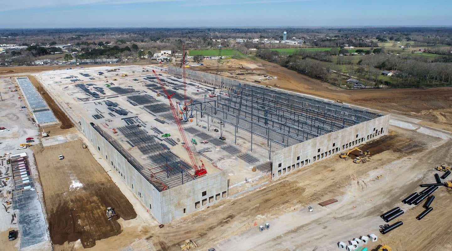
Construction
We can support you through every step of your next construction project, from planning through progress monitoring, all the way to capturing high-resolution images when the work is complete.
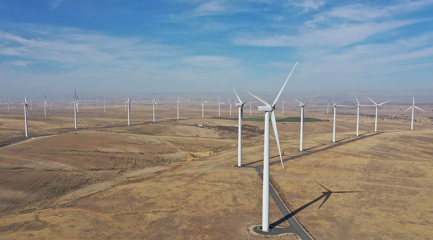
Energy
Oil, wind, and solar companies all rely on drones to capture data and monitor assets, from monitoring oil pumps in the Gulf of Mexico to determining the best location to place solar panels.
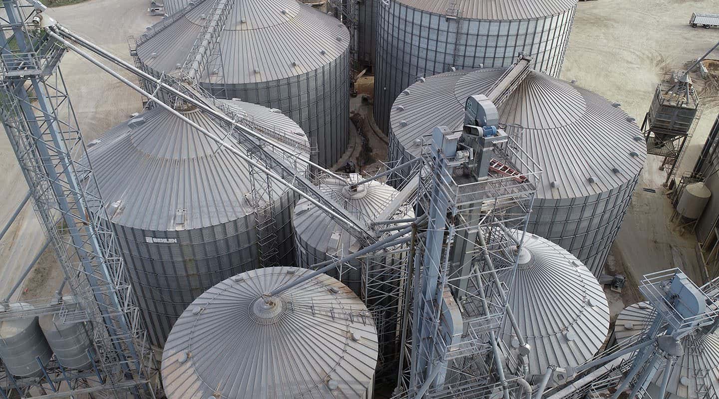
Industrial
We provide drone services to industrial companies around Lafayette, including inspecting and monitoring local refineries, oil rigs, and manufacturing plants.
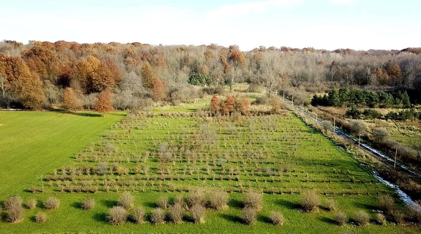
Agriculture
Gain detailed insight about your farmland, including finding drainage issues, assessing damage from storms, or seeing how your livestock is protected. Aerial scanning can scan up to 700 acres a day, saving you time and getting the information you need faster.
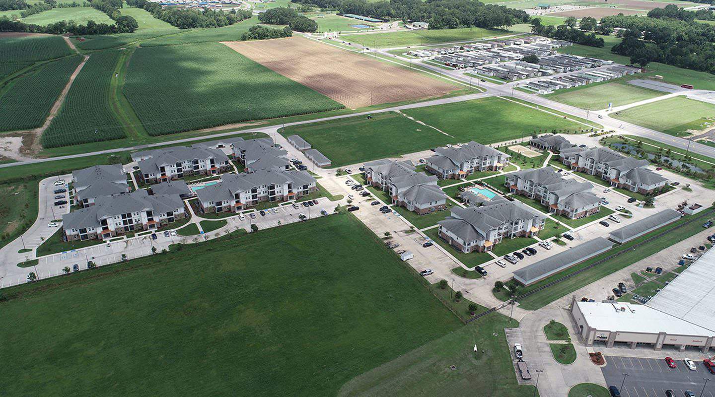
Real Estate
Aerial photography and walk-through videos allow you to show a property to its best advantage, both up-close and from a bird’s eye view. Highlight the neighborhood, provide a sense of scale, and make sure your properties stand out from the competition with high-resolution images and videos.
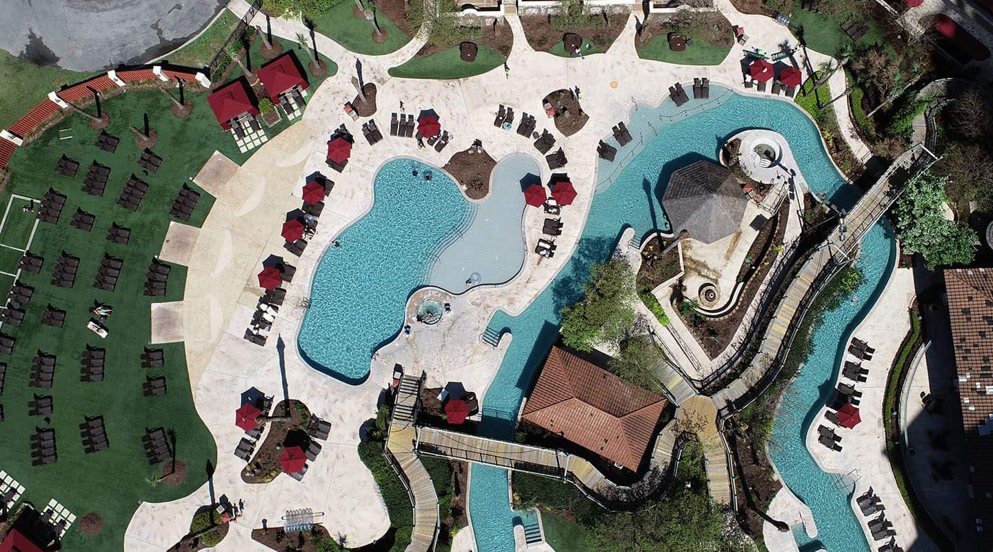
Hospitality
Attract tourists, guests, or members to your club using drone photography and video. Create an immersive virtual tour, map out nearby attractions and restaurants, or highlight the best features of your property with ease using our drone imaging.
Providing Drone Services Around Lafayette and Beyond
We serve Lafayette and the surrounding area, including:
Carencro
Breaux Bridge
New Iberia
Abbeville
Crowley
Jennings
Eunice
Mamou
Ville Platte
Opelousas