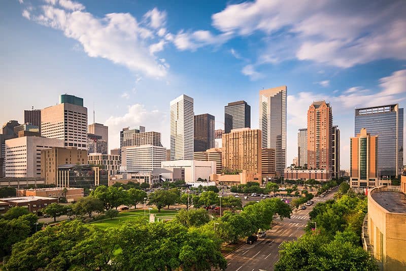
Drone Services in Houston, TX
Discover our comprehensive drone services in Houston
From aerial photography and stunning videos to LiDAR and multispectral, discover our comprehensive drone services in Houston. Using advanced sensors and innovative cameras, our Houston FAA-licensed and insured drone pilots capture highly detailed images that can be used to transform the data into comprehensive data sets and 3D models.

Our Drone Services in Houston
Drones are versatile tools that make it possible to capture and record a wide variety of data and information far beyond high-resolution photography and images. We use highly advanced sensors, such as the Riegl MiniVux LiDAR sensor, and innovative cameras that allow us to provide more services and capture data that can be processed into 3D maps, models, and renderings.
LiDAR Services
Using the data captured from our laser scanners combined with GPS and inertial measurement units, professional surveyors and mappers can construct a comprehensive point cloud consisting of grouped elevation points. This data can then be used to create 3D models, topographical maps, and more. We assist with LiDAR collection, LiDAR consultation, and LiDAR drone rentals.
Drone Inspections
Using drones to inspect and examine assets and job sites is an efficient, cost-effective way to ensure your safety and regulatory requirements are being met. Rather than risk sending a crew to an unsafe area, including at the top of a cell tower or at a power plant, our pilots can record data for you and your inspection team to review, look for areas of concern and make informed decisions safely.
Drone Surveying & Mapping
From photogrammetry to remote sensing these datasets can be transformed into detailed 3D renderings and models that surveyors and mappers can use for measurements and distance as well as existing buildings and infrastructure. Combining this data with traditional data collection methods saves money and time.
Progress Monitoring
Our pilots can follow the same flight plan over regular intervals, providing you with the ability to monitor and track progress on a job site, keep an eye on areas of concerns, and identify issues before they become expensive problems.
Aerial Photography
Acquire aerial photography of places, people, or events. Our drone pilots can capture images of your subject from virtually any angle, so you can show it off to its best advantage.
Satellite Imagery
With a wide variety of use cases, satellite imagery allows you to see large areas of land at one time. We supply satellite images to many industries, and we are here to assist on your next project.
Industries We Serve
Companies and industries across Houston rely on us for drone imaging and data, including:
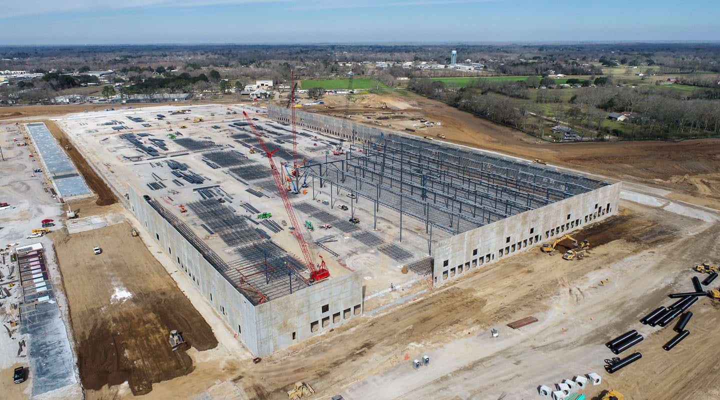
Construction
From land surveying during planning, progress monitoring and inspections during the build, to marketing images when the project is complete, our drone services can help make your next construction project a success.
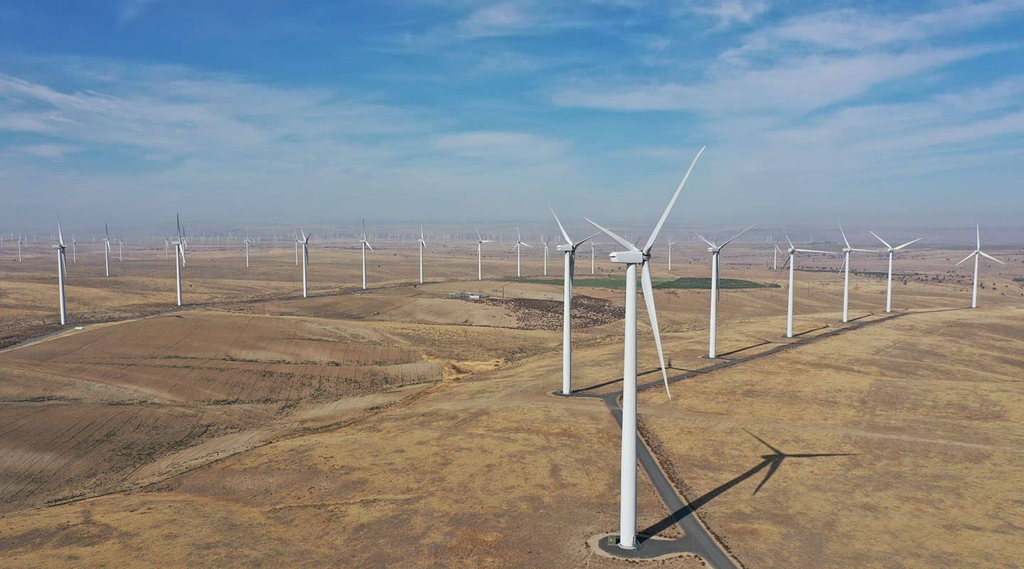
Energy
View oil pumps and stations from different angles or get the best vantage points for placing solar panels with our drone image capturing. Utility companies are also utilizing drones for transmission and distribution line inspection.
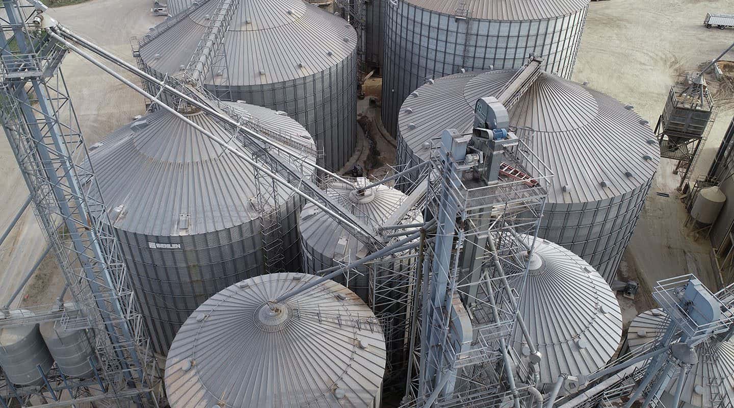
Industrial
We provide drone services including drone inspections and progress monitoring for a variety of industrial and manufacturing sites, including oil refineries, offshore oil rigs, and civil infrastructure.
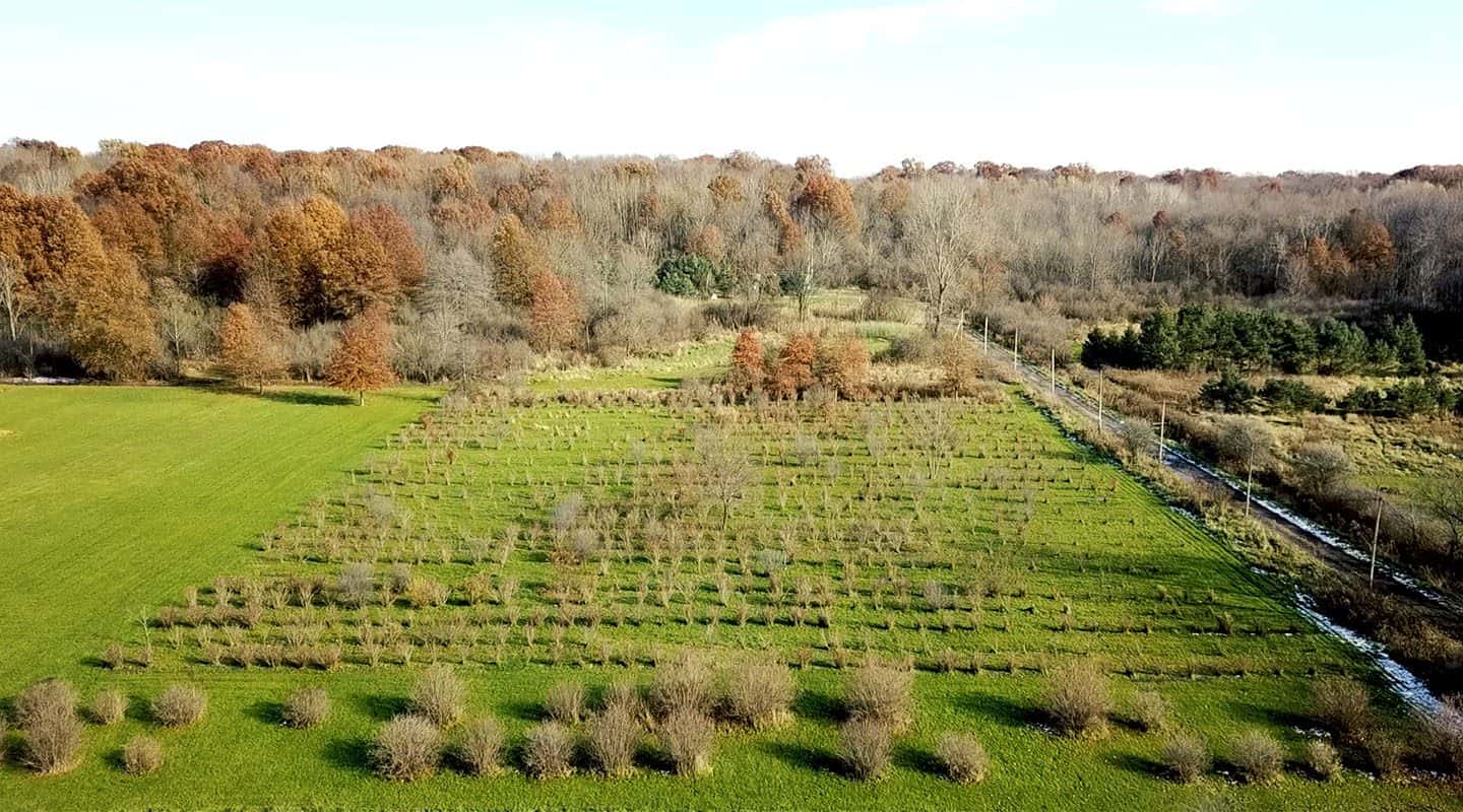
Agriculture
We can help you gather vital data about your farmland, including finding areas of poor drainage, damage after a storm, or vulnerable areas for livestock.
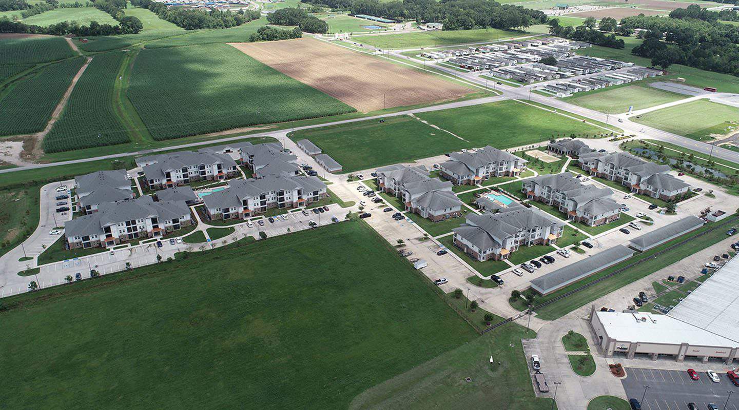
Real Estate
Sell homes faster with aerial photography that shows off the property to its best advantage and provides a clear image of the neighborhood. We can provide you with images at different heights and angles, and include specific highlights of the area to better entice prospective buyers.
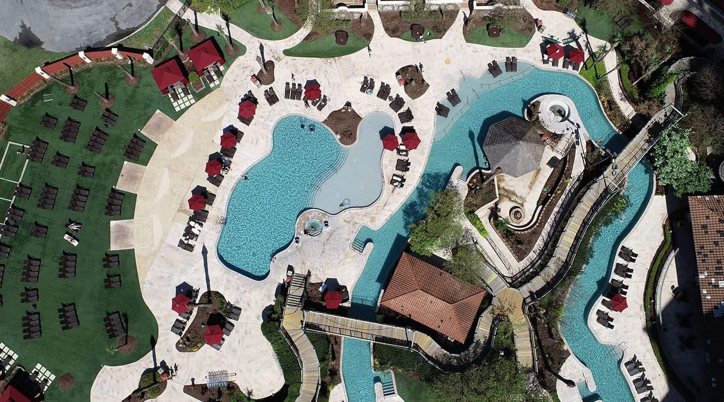
Hospitality and Tourism
Captivate people with beautiful aerial images of your golf course, send out virtual tours of an attraction, or create a map of local restaurants and attractions for your hotel. With our drone photography, we can help you create effective marketing images that will captivate your audience.
Areas Around Houston We Serve
Our network of FAA-certified drone pilots are located all around the Houston area and can provide drone services in the following locations:
Conroe
The Woodlands
Spring
Sugar Land
Pearland
Galveston
League City
Baytown
Freeport
Lake Jackson
Vistoria
Port Arthur