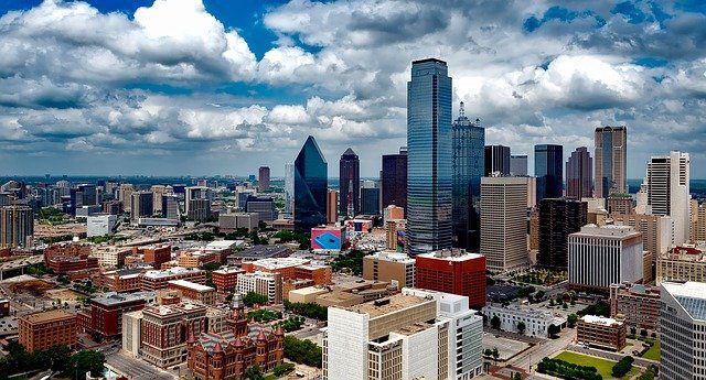
Drone Services Dallas-Fort Worth
experienced team of FAA-certified and insured pilots
For comprehensive drone services in the Dallas area, including data collection for LiDAR, RGB, infrared or thermal, and multispectral, choose FlyGuys. Our experienced team of FAA-certified and insured pilots and dedicated project managers will help you meet your goals with high-quality deliverables.

Our Drone Services in Dallas
Drones offer a wide range of functionality, far beyond aerial photography and video footage. By connecting them with highly advanced sensors, like a Riegl MiniVux LiDAR sensor, and specialty cameras, our drone pilots in Dallas-Ft. Worth are able to capture data that can be processed into point clouds, 3D maps, and 3D renderings.
LiDAR Services
By combining scans with GPS and inertial measurement units, our data analysts build point clouds of grouped elevation points that can be used to create 3D maps and renderings. If you need assistance with LiDAR data collection, consulting, or LIDAR drone rentals, we are here to help.
Drone Inspections
Areas around an industrial facility or construction site require regular inspections, To minimize costs, save time, and improve safety, we offer drone inspections of assets and equipment. With detailed videos and images, your inspection team can analyze the data to determine any issues without the time or risk involved in a physical inspection.
Drone Surveying & Mapping
Drones offer rapid aerial image capturing with remote sensing capabilities. This allows us to collect data that you can use to map neighborhoods, plan construction projects, and more. Surveyors and mappers combine this data with traditional data collection methods, saving money and time.
Progress Monitoring
Our experienced drone pilots can regularly scan an area and provide you with both wide-scale aerial shots and close-up footage. This allows you to easily monitor progress on your construction project, make informed estimates of your timeline, and identify concerns before they become serious problems.
Aerial Photography
Our drone pilots can capture high-resolution images and video of your property or assets. With our deliverables, you can create immersive virtual tours, create eye-catching printed materials, and add more images to your website to capture the attention and interest of your target audience.
Satellite Imagery
With a wide variety of use cases, satellite imagery allows you to see large areas of land at one time. We supply satellite images to many industries, and we are here to assist on your next project.
Industries We Serve
We provide drone services in Dallas-Ft. Worth to a wide variety of industries and organizations.
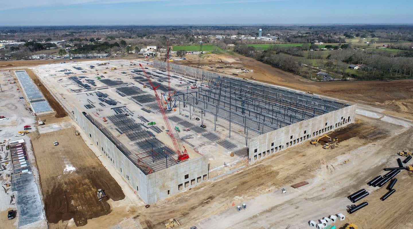
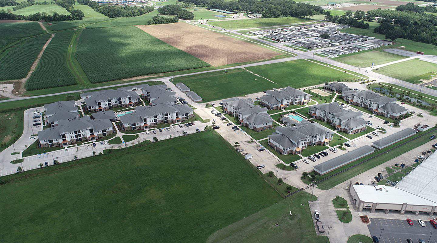
Construction
From the datasets needed for planning the project through marketing images once the project is complete, our drone services can support your construction projects along every step of the process.
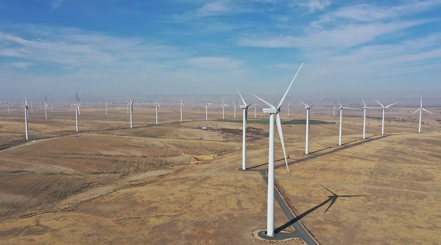
Energy
We serve oil, solar, wind, and nuclear sectors, providing you with drone footage that allows you to monitor pumps, inspect assets, and even determine the best vantage points for placing solar panels or wind turbines.
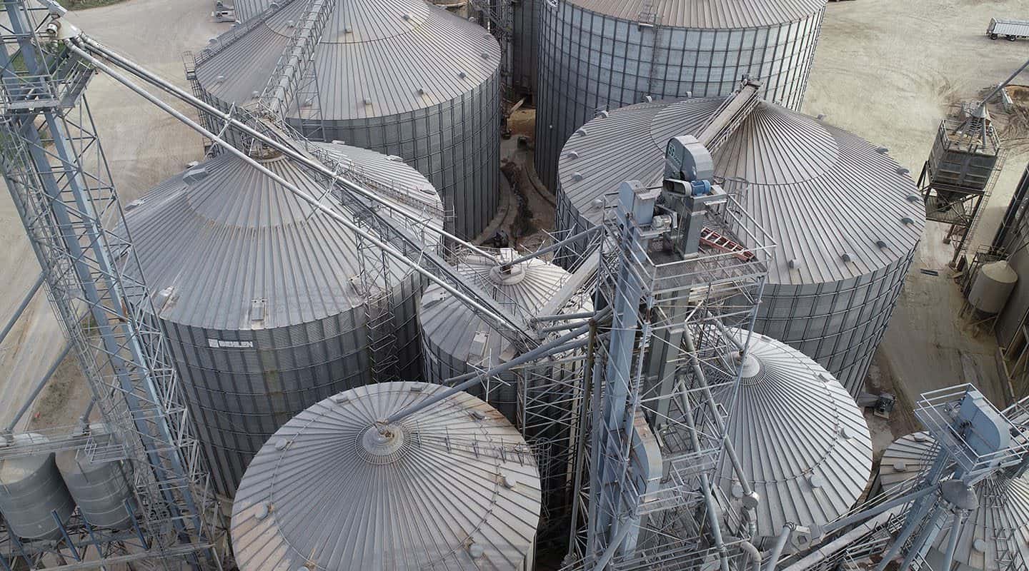
Industrial
Our drone services in Dallas are used to aid in planning as well as monitor and inspect refineries, offshore rigs, manufacturing facilities, and civil infrastructure.
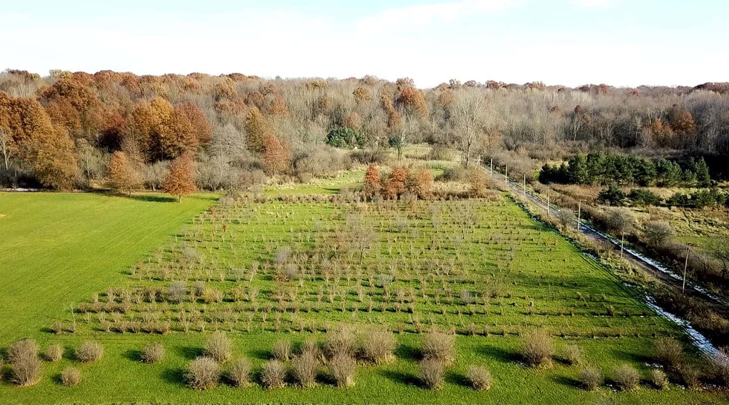
Agriculture
With the ability to scan hundreds of acres a day, we offer a time-efficient, cost-effective way to gain insight into your land. Find the most favorable areas for planting or livestock grazing, assess storm damage, and ascertain drainage concerns across every acre of your farmland.
Real Estate
Aerial photography and walk-through videos allow you to show a property to its best advantage, both up-close and from a bird’s eye view. Highlight the neighborhood, provide a sense of scale, and make sure your properties stand out from the competition with high-resolution images and videos.
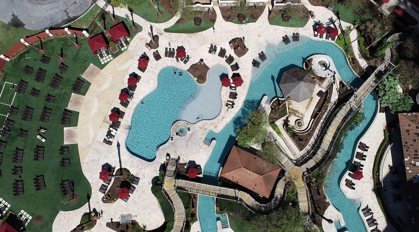
Hospitality and Tourism
Increase visitors and guests at your attraction, hotel, or vacation spot with drone photography and videos. With our image capturing, you can create virtual walk-throughs and tours, create maps of nearby attractions and restaurants, and improve your digital and print marketing campaigns to feature your property at its best.
Areas Around Dallas-Fort Worth We Serve
Our network of FAA-certified and insured drone pilots are located all around the Dallas-Ft. Worth area and beyond, including:
Plano
Mesquite
Arlington
Waxahachie
Grapevine
Keller
Flower Mound
Denton
Richardson
Garland
Tyler
Waco
Abilene