Other Industries
Drone Services for All Industries
FlyGuys offers comprehensive drone services to businesses in all types of industries. From aerial photography for marketing to thermal imaging and LiDAR for construction planning, our national network of FAA-certified drone pilots and team of experienced project managers help clients reach their goals with high-quality deliverables.
Archaeology
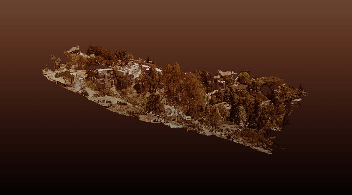
Drones are transforming how data is gathered from archaeological sites. High resolution imaging allows archaeology groups to discover and analyze sites without disturbing them. LiDAR can detect surface irregularities to direct researchers to graves, burial sites, or even sunken cities, while thermal data can be used to identify objects buried underground which are warmer than the surrounding soil.

Education
From using LiDAR to survey sites for building a new school to providing you with high-resolution videos of the school grounds, extracurricular activities, and special events that can be used to create exciting videos, we are helping schools and universities improve their operations with our drone services.

Environmental Services
When you need data about an area, whether it’s land erosion, invasive species growth, or the extent of a chemical spill, our drone services provide the data you need. Thermal imaging, LiDAR, and aerial imaging can be applied to help you make informed decisions and plan how to reclaim or protect a parcel of land.
Legal
When you need aerial photography or videos for evidence, from dangerous roads or hazardous construction site conditions, we can provide you with the detailed, high-resolution images you need to help win your case.
Manufacturing
Inspecting equipment is a challenging, time-consuming process that can also be dangerous when done manually. With drone inspections, we’ll provide you with crisp, clear images and video that can be used to determine any maintenance or repair needs of your equipment and assets without having to shut down operations or putting your team at risk.

Retail
Attract customers to your retail store with beautiful, high-resolution aerial images and videos that show off your building, the convenience of your location, and make your shop stand out from the competition.
Stadiums
With high end equipment, like our Riegl MiniVux LiDAR sensor, we can scan stadiums to identify its current condition, provide a 3D model, as well as inspect hard-to-access areas around the dome to identify any issues with safety.

Transportation
Using LiDAR or photogrammetry, we can provide you with detailed datasets that can be used as the foundation for city maps that allow you to plan routes effectively.

In-house Drone Programs
Our drone consultants have worked with clients from these industries and understand what is necessary to successfully set up in-house drone programs.
Get A Quote
Take Your Project To New Heights
Whether the project takes us to a major metropolitan city, a mid-sized town, or a rural area far away from civilization, we’re ready to deploy FAA-certified pilots and follow stringent safety measures. Connect with FlyGuys for a quote, and let’s explore the right solution for you.
Please note that we are currently unable to assist in the search for missing pets. This limitation is due to the specific challenges and regulations associated with using drones for such purposes.