Surveying & Mapping
Drone Services for Surveying & Mapping
Many licensed surveyors and mappers across the US are turning to FlyGuys to help with their drone services needs. Whether for data collection, consultation, or drone rentals, our drone expertise can save you a significant amount of time and money.
How LiDAR Drone Data Collection Helps Surveyors
LiDAR Data Creates Digital Representation
LiDAR data is electronically compiled with GPS technology to create a digital representation of the data collected, which professional surveyors can then use to build a great number of deliverables for their clients.
Accurate Measurements
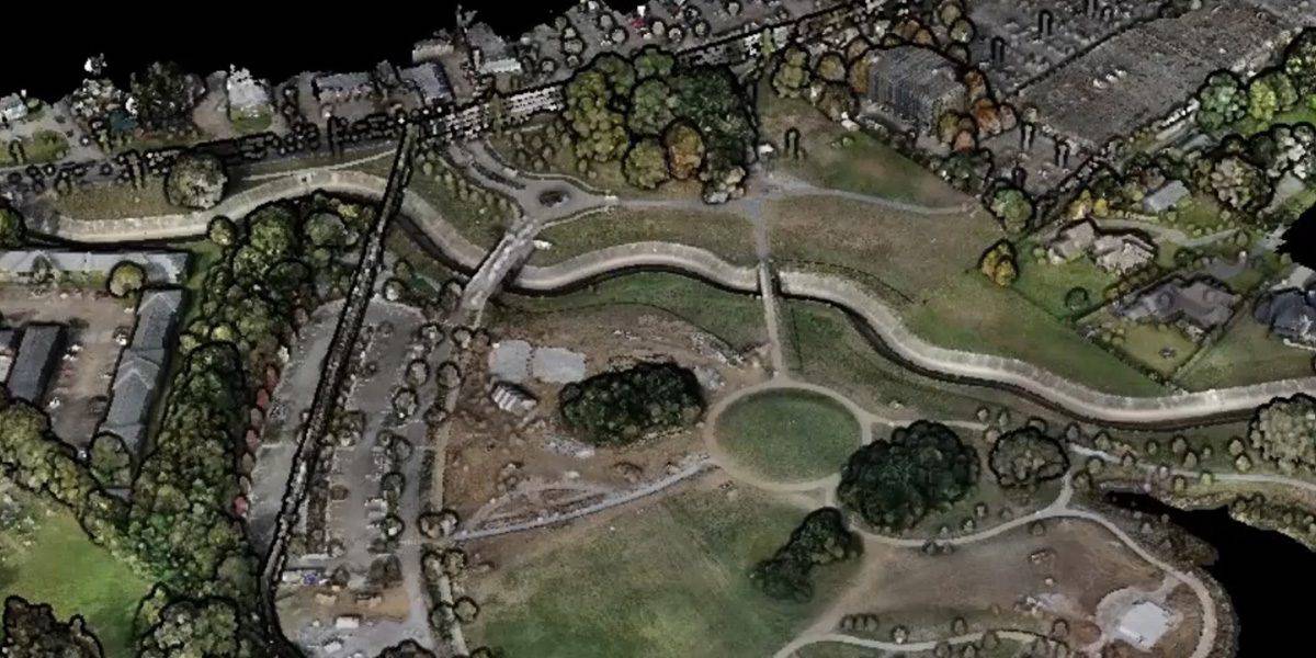
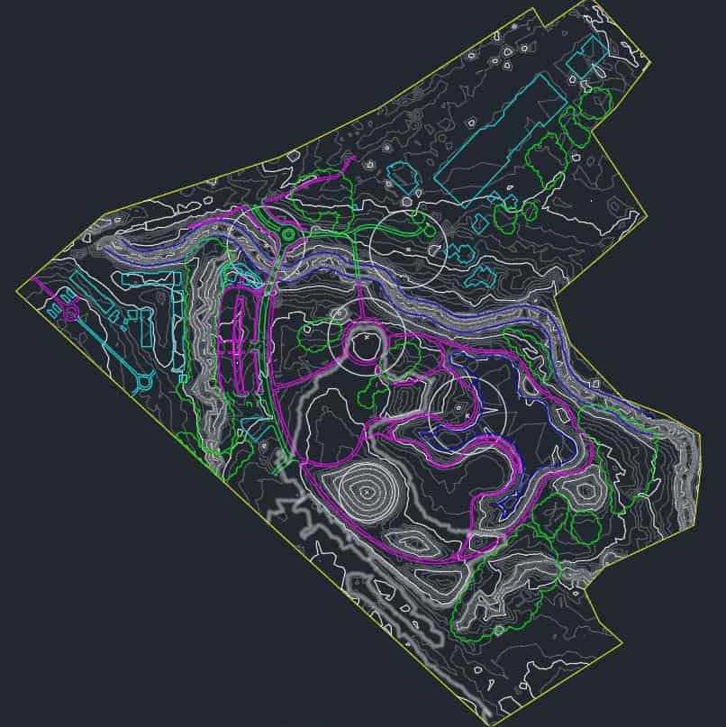
LiDAR (light detection and ranging) is a remote sensing method that can detect objects and place in real space while accurately measuring the surface of the earth with exact precision. Drones equipped with LiDAR and other instrumentation measure the light’s reflection and range from an object’s surface to an object across millions of beams. That data is electronically compiled with GPS technology and data from the drone’s inertial measurement unit (IMU) to create a digital file called a point cloud. A professional surveyor can then turn this point cloud into a number of different final products including contour files, 3D maps, etc.
Penetrates Vegetation and Covers Large Areas
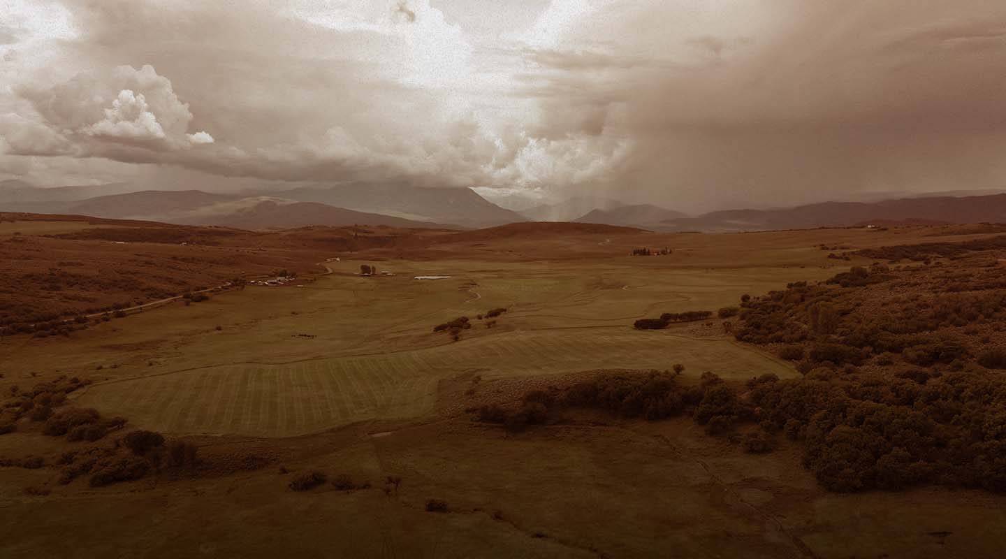
LiDAR drones are particularly helpful for surveyors in large or heavily wooded areas of land. LiDAR can penetrate vegetation through openings in the tree canopy and reflect the surface location back to the drone, allowing a point cloud of only existing ground to be completed much more rapidly than with traditional methods. On large wide open areas with no forest cover, a drone with high-end LiDAR equipment is capable of covering up to 500-750 acres in a day.
Benefits of Drone Data Collection for Professional Mappers
By combining traditional methods of data collection with drone data collection, mappers and surveyors can reap a number of benefits.
Industries Relying on Surveying
Land mapping and surveying is used across numerous industries. FlyGuys has experience working with licensed surveying companies across industries such as:
- Agriculture
- Construction
- Conservation and Environmental
- Mining
- Forestry management
- Solar Farm Maintenance
- Government Agencies
- Land Development
- Transmission and Distribution Inspection
Located across the United States, FlyGuys drone pilots are professionally certified, FAA compliant and fully insured.
Get A Quote
Take Your Project To New Heights
No matter where your project is located, FlyGuys connects you with certified, FAA-compliant drone pilots ready to capture the data you need—quickly, safely, and reliably.
Request a quote today and let our team match you with the right drone solution for your project.
Please note that we are currently unable to assist in the search for missing pets. This limitation is due to the specific challenges and regulations associated with using drones for such purposes.