FlyGuys Drone Services Partners with TrueLook
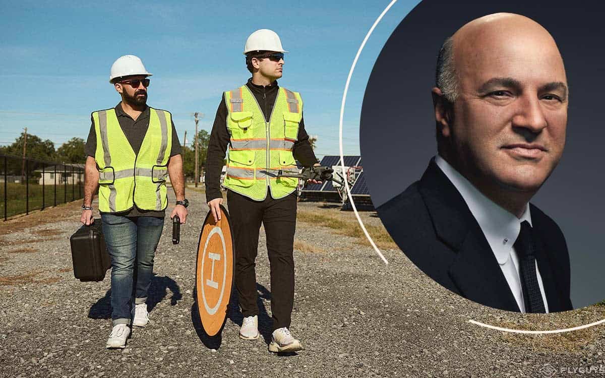
FlyGuys Announces Partnership with TrueLook FlyGuys and TrueLook Announce Partnership that will Revolutionize Jobsite Visibility in the Construction Industry. Lafayette, LA: FlyGuys today announced a new partnership with TrueLook that will revolutionize the...
LiDAR Transforms Urban Development Mapping: Insights from a Client Perspective
LiDAR Transforms Urban Development Mapping: Insights from a Client Perspective LiDAR technology has emerged as a game-changer in urban development and 3D mapping, revolutionizing how construction and engineering firms approach their projects. Among those...
Overcoming Apprehension: How LiDAR Can Benefit Your Surveying Needs, an Interview with FlyGuys’ Sales Rep
Overcoming Apprehension: How LiDAR Can Benefit Your Surveying Needs, an Interview with FlyGuys' Sales Rep “Hi there! My name is Jessica, and I specialize in providing LiDAR services to companies like yours.” This is a daily introduction that can be heard...
Behind the Scenes of LiDAR Data Processing: A Mission Coordinator’s Perspective
Behind the Scenes of LiDAR Data Processing: A Mission Coordinator's Perspective LiDAR (Light Detection and Ranging) technology is an essential tool for geospatial data collection and analysis, allowing for the creation of highly accurate 3D models of the...
Getting to the Point: Insights From a Skilled LiDAR Pilot
Have you ever wanted to gain insights into the work and expertise of a LiDAR drone pilot to learn about LiDAR technology and its applications in the real world? We spoke with our seasoned FlyGuys LiDAR pilot Zack, who shared his experiences and knowledge. During our...
Beginner Drone Pilot Guide
First steps to your first drone flight and important links to ensure compliance with FAA safety and regulations As the popularity of drones continues to grow, more and more people are interested in becoming drone pilots. However, it's crucial to understand that...
Drone Recommendations from FlyGuys Ops Team
Drone Recommendations from the FG Operations Team Pilots often ask us, what drone should I get? We asked our Ops team for their recommendations to give you insight into the best drones of 2023. Whether you have been flying for ten years, or one year or only thinking...
Drones in Mapping and Surveying
Drones in Surveying and Mapping Land surveying and mapping are closely related fields often used together to create accurate and reliable maps of the Earth's surface. Land surveying provides the foundational data and measurements, while mapping uses that data to show...
Understanding Digital Surface Models, Digital Terrain Models and Digital Elevation Models: A Comprehensive Guide to Digital Models of the Earth’s Surface
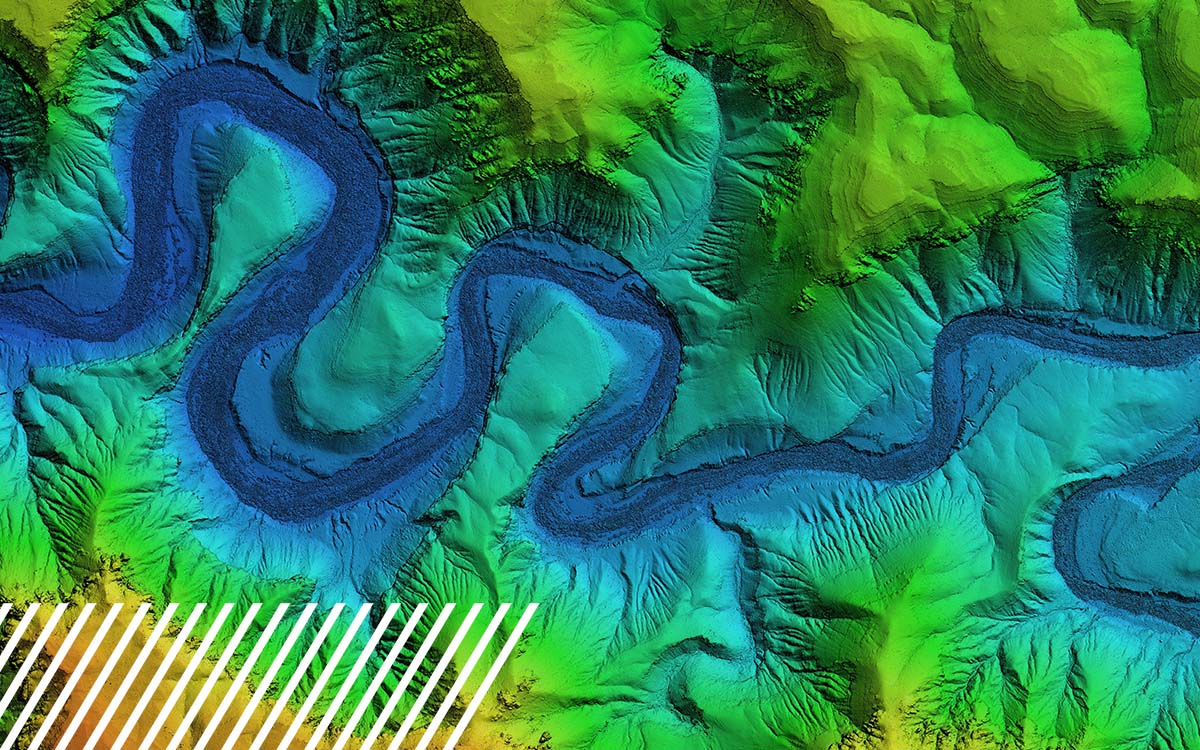
Understanding Digital Surface Models, Digital Terrain Models and Digital Elevation Models: A Comprehensive Guide to Digital Models of the Earth’s Surface Elevation data is critical for a wide range of applications in various fields. It also plays a key role in helping...