Agriculture Drone Services
Monitor Crops, Manage Irrigation, and Much More
Our agriculture drone services have helped countless farms and agricultural businesses nationwide monitor crops, manage irrigation, assist with precision agriculture, and much more. Start optimizing inputs and driving down costs today with drone solutions.
Agriculture Drone Services Support Precision Agriculture
In agriculture, growers must cut costs while maximizing the land’s economic production. Elements like weather patterns and land movement can present a major challenge, especially over hundreds or thousands of acres of land with different ecologies, assets, and environmental obstacles.
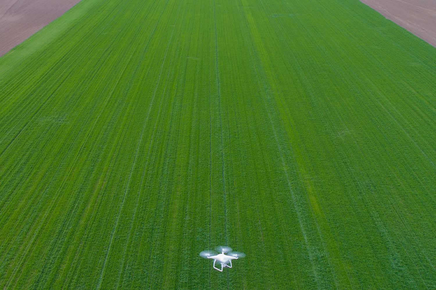
Agriculture drone services help growers apply Precision Agriculture techniques for better crop and livestock management. Drones provide farming photography and video data, covering large land areas quickly to pinpoint where actions are needed. Drones deliver real-time feedback on soil, plant, moisture, and topography to maximize yield, avoid waste, and increase the bottom line.
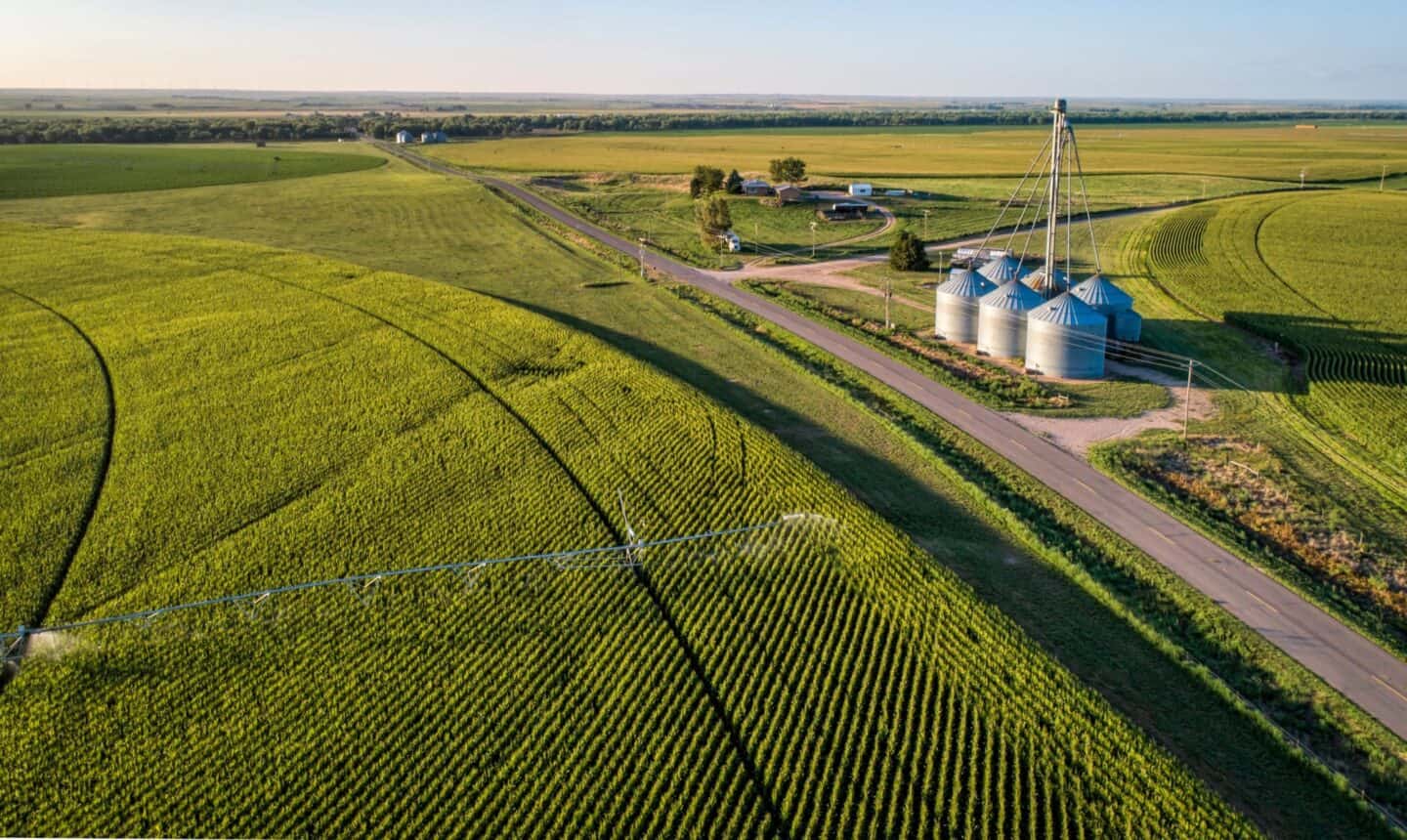
Farming
Aerial drone photography services help farmers stay agile in their land management responsibilities. Drone video and photos are extremely effective for scouting land and crop features quickly, leading to smarter resource decisions that cut costs and increase production.
With agriculture drone services, growers can:
- Increase crop yields by monitoring multiple issues affecting plant health and growth.
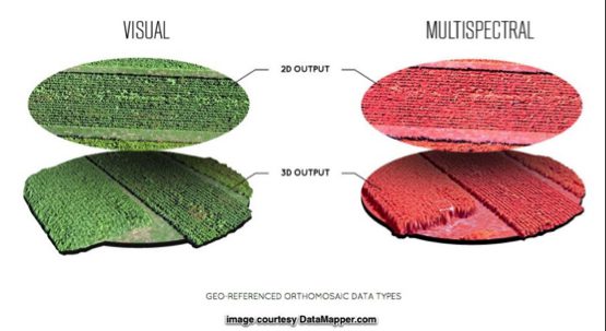
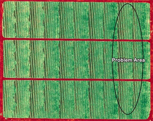
- Quickly find and address crop disease, infestation, or poor irrigation not seen in ground-level checks. Analysis tools such as normalized differential vegetation indexing (NDVI) help you zero in, compare, and adjust conditions to maximize yield.
- Leverage topographical, thermal, and spectral mapping to monitor and assess crop health faster with more precision over large land areas.
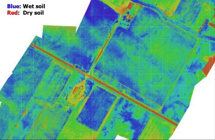
- Perform soil & field analysis to assess moisture and fertility levels, identifying irrigation and nitrogen management actions needed to reduce waste.
- Plant more efficiently by gathering visual data that maps the terrain and collects information about the topography and soil.
- Manage irrigation with a comprehensive and accurate lay of the land. Aerial photography makes it easy to identify slopes and drainage, and drones with thermal cameras can detect both dry and wet ground, allowing farmers to adjust irrigation as needed.
FlyGuys drone pilots are FAA-certified, insured, and experienced in capturing the information needed to increase crop yield and land performance.
Contact us to learn how we can help increase the bottom line with actionable data.
Custom reporting
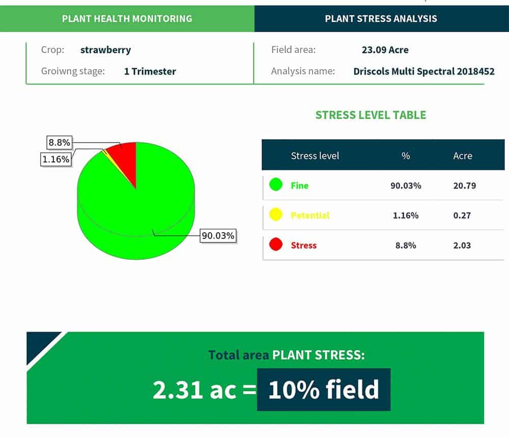
Custom reporting makes it easy to translate the information captured by drones and take action based on the results.
Plant Health Monitoring
Plant stress level = 10% of field for a total of 2.31 acres. Plant stress can be caused by multiple factors such as lack of water or unbalanced nitrate levels.
Recommended actions:
- Increase fertilizer levels
- Increase water frequency
Forest and Land Stewardship
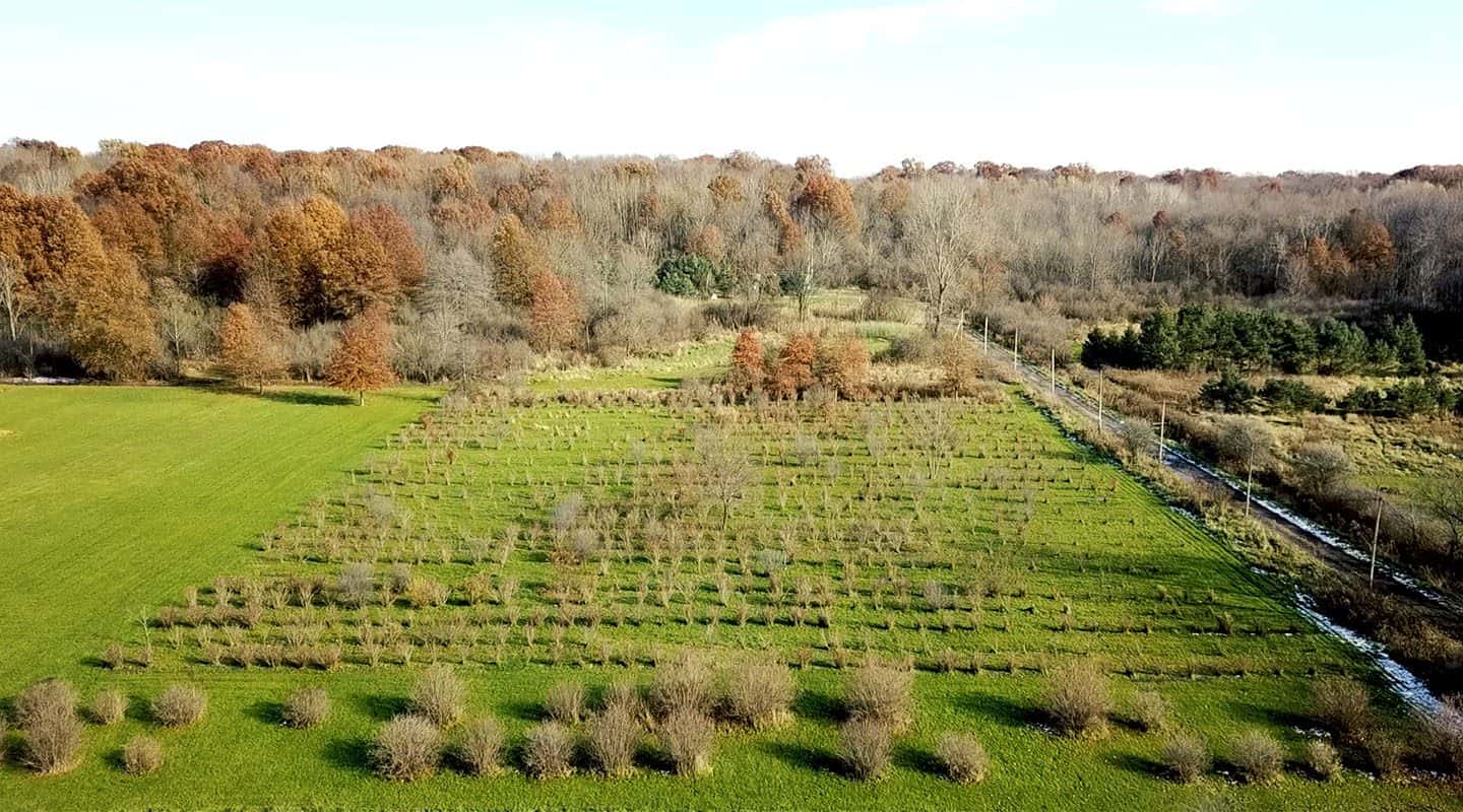
Private owners and public organizations in charge of large swaths of wild forest or rural land can leverage aerial drone photo.
FlyGuys drone pilots are FAA-certified, insured, and experienced in capturing the information you need to better manage your land.
Contact us to learn how we can assist stewardship with actionable data.
With aerial drone photography, land stewards can:
- Formulate an effective land management plan that considers boundaries, forest stands, wood species, biodiversity, and more.
- Create fully comprehensive maps of parcels, ensuring every acre is included in the land management plan.
- Predict and mitigate disasters such as forest fires, landslides, and ecological disease by gathering visual data otherwise unobtainable by ground-level or naked-eye assessments.
- Gather marketing photos and video for land to be sold.
- Conduct due diligence for aid program applications such as the Forest Stewardship Program, the Landowner Assistance Program, or USDA assistance programs.
Livestock Management
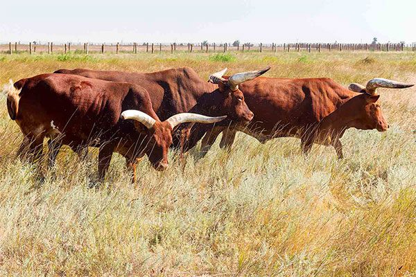
Producers, ranchers, and cattle herders often use aerial photography drone services to execute Precision Ranching strategies. The data captured by aerial footage helps maximize the land’s resources and the producer’s efficiency, ensuring a more robust herd, new cost-savings, and smarter business decisions based on reliable data.
With aerial drone photography, producers can:
- Take a comprehensive inventory of resources, locating the best areas for drinking water and creating a superior grazing management plan.
- Monitor fencing and pen conditions, saving time and the fuel required to monitor by ATV or automobile.
- Check for damage after severe weather, saving time and protecting ranch hands from precarious situations.
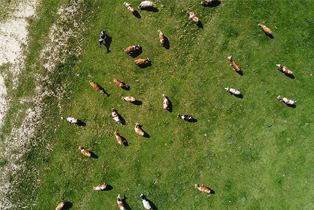
- Perform periodic inspections for counting or locating missing livestock and related tasks. Use infrared imaging day or night to quickly locate animals.
Get A Quote
Take Your Project To New Heights
Whether the project takes us to a major metropolitan city, a mid-sized town, or a rural area far away from civilization, we’re ready to deploy FAA-certified pilots and follow stringent safety measures. Connect with FlyGuys for a quote, and let’s explore the right solution for you.
Please note that we are currently unable to assist in the search for missing pets. This limitation is due to the specific challenges and regulations associated with using drones for such purposes.
