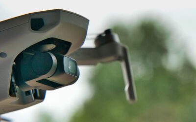
Preparing Your Site for a Drone Scan: Key Steps for Success Drones are undeniably invaluable tools in various industries, offering efficiency, accuracy, and cost-effectiveness in tasks such as aerial mapping, surveying, and inspections. Whether you're in...
A Drone Pilot’s Van Life Journey
A Drone Pilot's Van Life Journey In this 2023 era of #vanlife and the rise of flexible work arrangements, there are individuals who are redefining the traditional notion of remote work by wholeheartedly embracing a nomadic lifestyle. One of our very own drone pilots,...
UAS Programs: The Key to Unlocking Lucrative Opportunities in a Competitive Market
UAS Programs: The Key to Unlocking Lucrative Opportunities in a Competitive Market In a world where innovation is the driving force, few industries hold as much promise and excitement as Unmanned Aircraft Systems (UAS), more commonly known as drones. Imagine being...
Drones and Career Readiness: Preparing Students for Future Opportunities
Drones and Career Readiness: Preparing Students for Future Opportunities In the span of a few years, drones have transformed from intriguing gadgets into versatile tools that are reshaping industries across the board. From agriculture to filmmaking,...
Scaling Your Business with Aerial Data Collection: The Debate of In-House vs. Outsourced Drone Initiatives
Scaling Your Business with Aerial Data Collection: The Debate of In-House vs. Outsourced Drone Initiatives In an era where technological advancements are reshaping how industries operate, drones have emerged as a paradigm shift across various sectors. From land...
Understanding Remote ID for Drones: What You Need to Know
Understanding Remote ID for Drones: What You Need to Know Drones have become an increasingly popular way to capture stunning aerial views, collect data for analysis and mapping, and even deliver packages. As the drone industry continues to grow, so does the need for...
Unmasking the Heat: The Art of Thermal Inspections in a Solar Farm
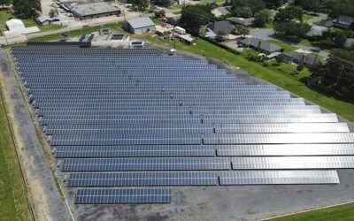
Unmasking the Heat: The Art of Thermal Inspections in a Solar Farm On a hot and sunny May day in south Louisiana, the FlyGuys team took a field trip to see one of the largest outdoor solar testing facilities in the southeastern United States, the University of...
LiDAR Transforms Urban Development Mapping: Insights from a Client Perspective
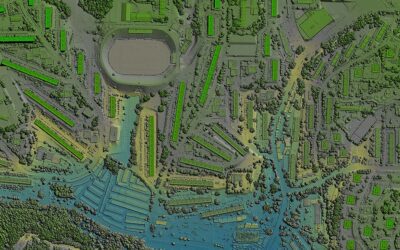
LiDAR Transforms Urban Development Mapping: Insights from a Client Perspective LiDAR technology has emerged as a game-changer in urban development and 3D mapping, revolutionizing how construction and engineering firms approach their projects. Among those...
Overcoming Apprehension: How LiDAR Can Benefit Your Surveying Needs, an Interview with FlyGuys’ Sales Rep
Overcoming Apprehension: How LiDAR Can Benefit Your Surveying Needs, an Interview with FlyGuys' Sales Rep “Hi there! My name is Jessica, and I specialize in providing LiDAR services to companies like yours.” This is a daily introduction that can be heard...
Behind the Scenes of LiDAR Data Processing: A Mission Coordinator’s Perspective
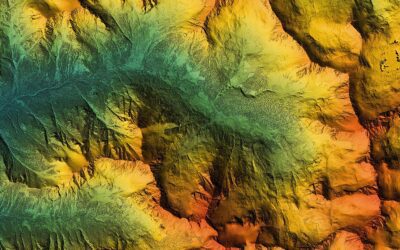
Behind the Scenes of LiDAR Data Processing: A Mission Coordinator's Perspective LiDAR (Light Detection and Ranging) technology is an essential tool for geospatial data collection and analysis, allowing for the creation of highly accurate 3D models of the...

